Just wanted to post some pictures from a trip my buddy Kent and I took on a trip to Revelstoke, BC (Canada) on Wednesday Nov.10. Kent was the photographer, so he gets the credit for the pictures. He took a lot of great shots so I had a hard time deciding which ones to post.
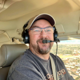
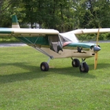
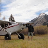
I got my pilot's license this spring, and bought an old Piper airplane, so I thought I would put them to good use and go tour some of the areas we snowmobile in.
We took off from our home base in Red Deer, Alberta and flew west, following the Clearwater river into the mountains.
Here's a shot of us following the Clearwater valley.
And another shot, somewhere along the Clearwater, probably somewhere in Banff National Park. Some of the bluest skies I've seen.
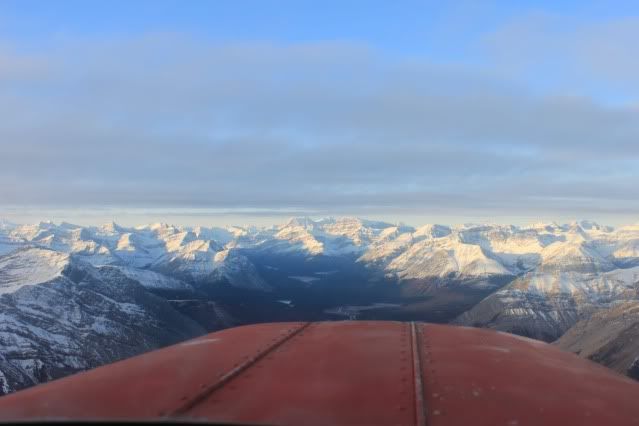
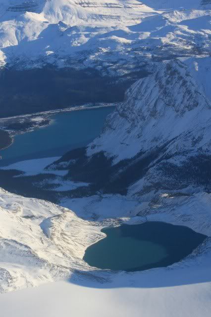
We flew over the pass at the headwaters of the Clearwater, and came out at Highway 93, just south of Bow Lake. Here's a shot of where we came out at Highway 93, you can see Bow Lake in the middle of the picture.
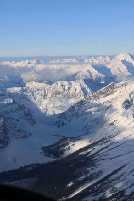
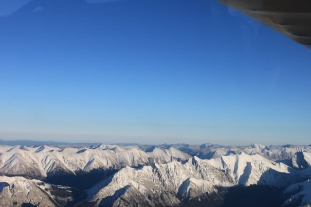
We flew over Bow Lake and up to the Wapta Icefield and the AB/BC border.
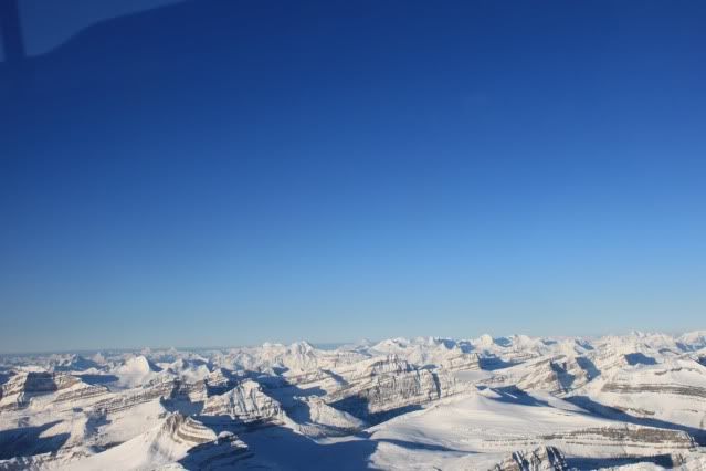
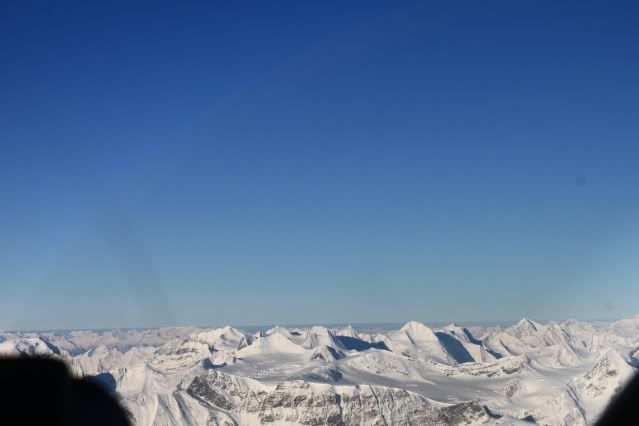
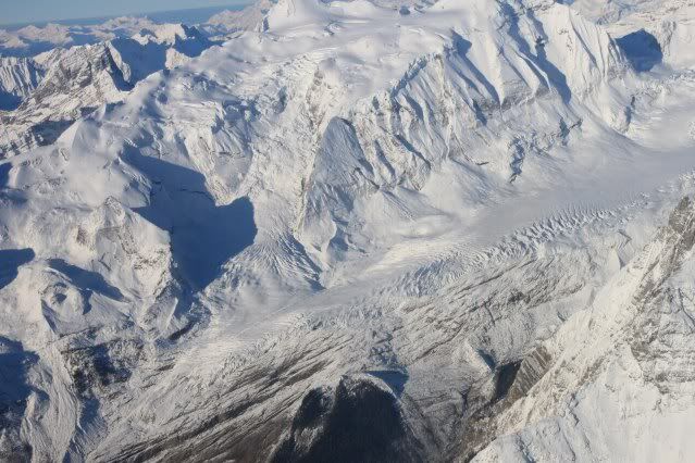
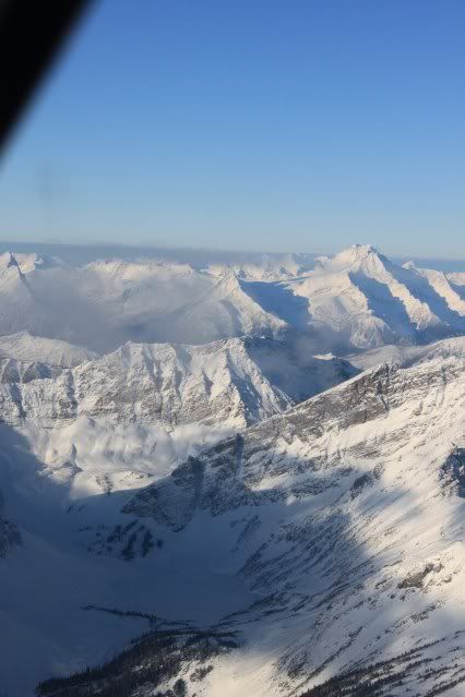
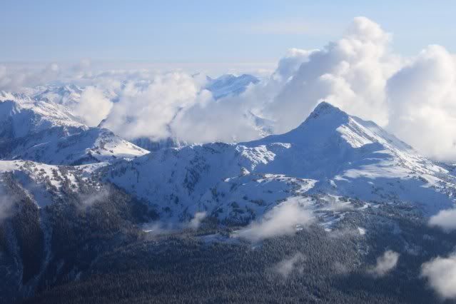
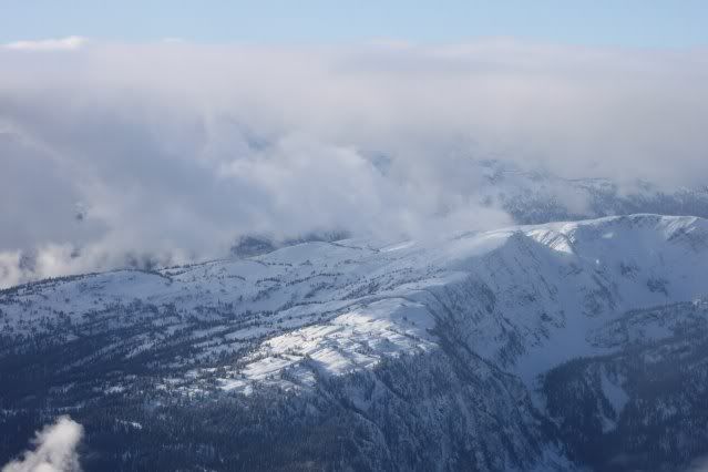
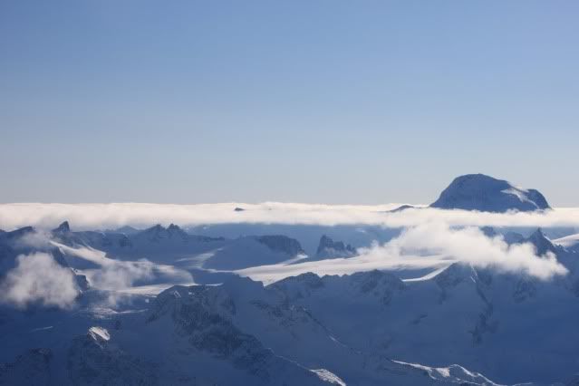
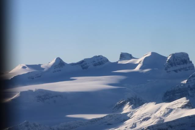
Here's a couple of shots of the Wapta Icefield.
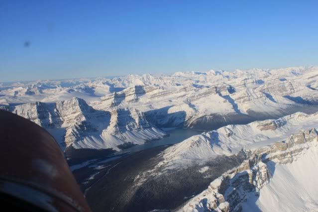
And a shot from over the Wapta Icefield looking back at Bow Lake.
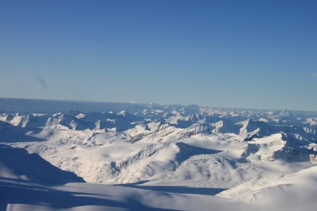
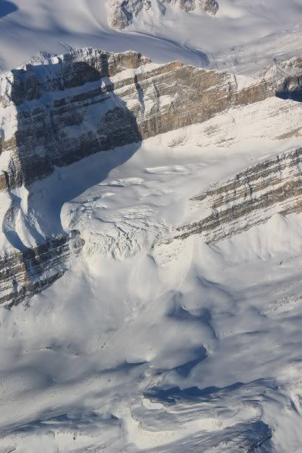
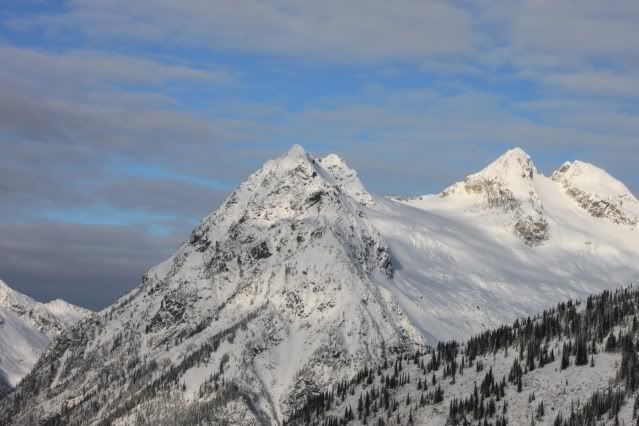
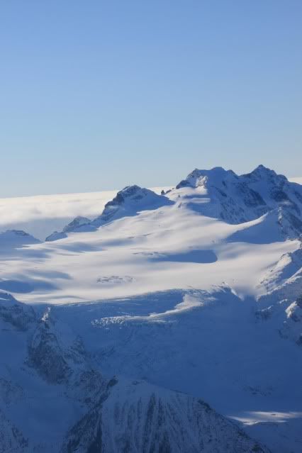
Another couple of glaciers in the area.
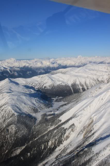
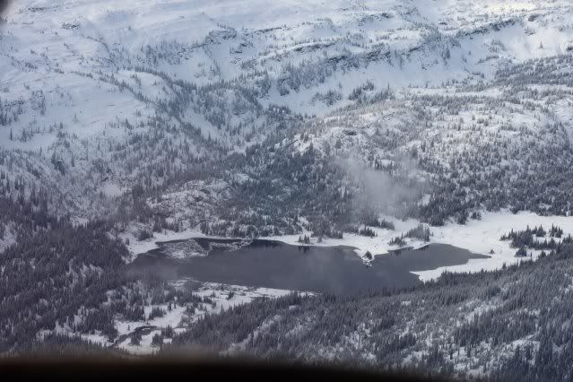
From the Wapta Icefield, we flew across the border and down into the Blaeberry River valley. We followed the Blaeberry valley to the Trans-Canada highway west of Golden, BC, and flew across the highway up the valley into the Gorman Lake snowmobiling area. Here's a couple of pictures of Gorman Lake.
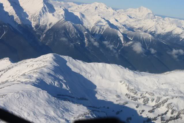
From Gorman we followed the ridge west to the Quartz Creek snowmobiling area. It was the only place we saw sled tracks on our whole trip. Here are a couple shots of Quartz.
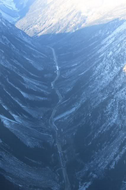
From Quartz Creek we flew west and intercepted the Trans-Canada highway again. We followed the Trans-Canada through Roger's Pass and on to Revelstoke. Here's a picture of the snowsheds over the highway east of Roger's Pass.
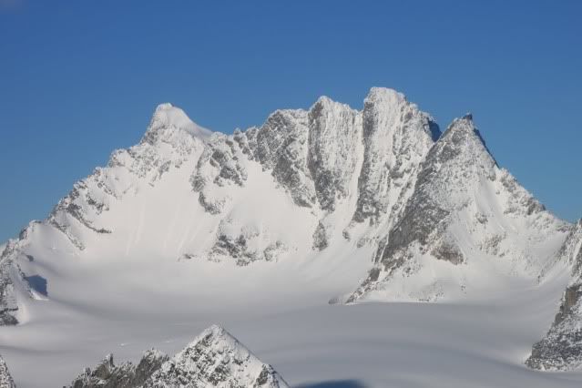
Here's a picture of a mountain in the Roger's Pass area.
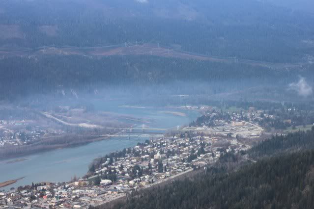
Here's a picture of the town of Revelstoke from the air.
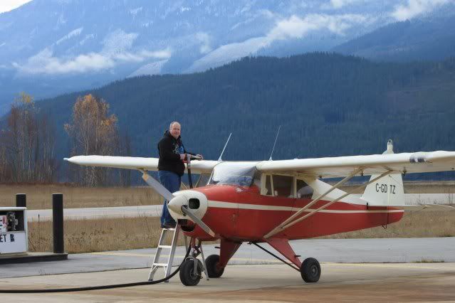
We stopped in Revelstoke for fuel.
Then we headed south. Here's a picture of the Boulder Mountain snowmobiling area from across the valley.
A picture of Mt. Begbie snowmobiling area.
A picture of Mt. Mcrae snowmobiling area.
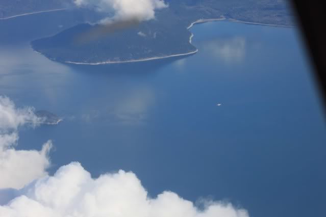
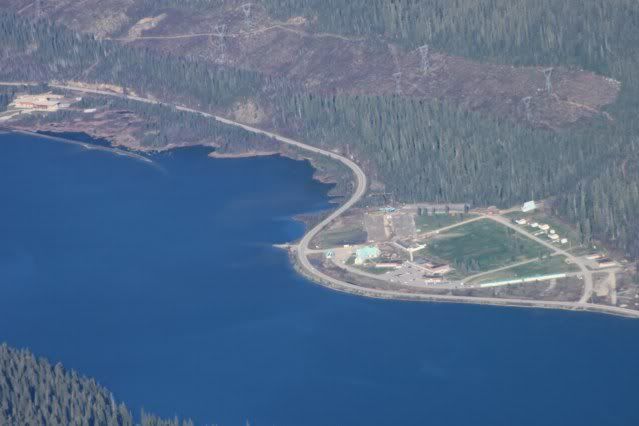
The Nakusp/Galena Bay ferry.
Area 51 snowmobiling area.
Margie Lake, a lake we've ridden to often on snowmobiles.
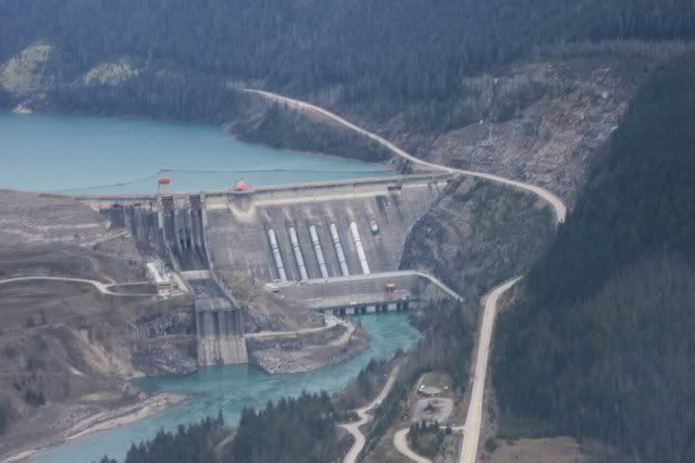
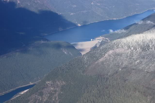
We were going to fly north from Area 51 and check out the Blanket Glacier, Joss, Begbie, Griffin, etc. but the visibility was poor so we headed back to the lake and followed the lake back to Revelstoke. We topped up the tanks again in Revelstoke, then headed north following highway 23 up to the Mica Dam. Here's the Revelstoke Dam.
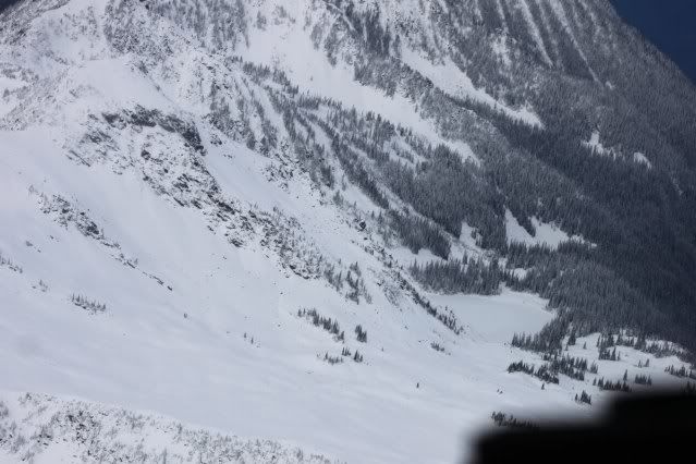
Standard Peak in the Keystone snowmobiling area.
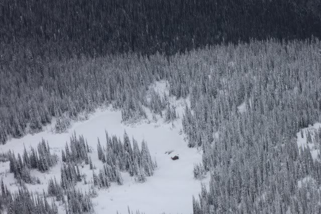
The cabin at Keystone.
The lake at Caribou Basin snowmobiling area.
The Goldstream snowmobiling area north of Caribou Basin.
The old Mica Dam townsite.
The Mica Dam.
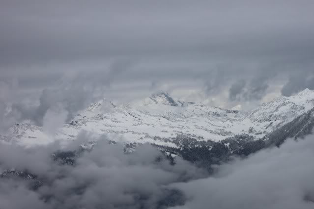
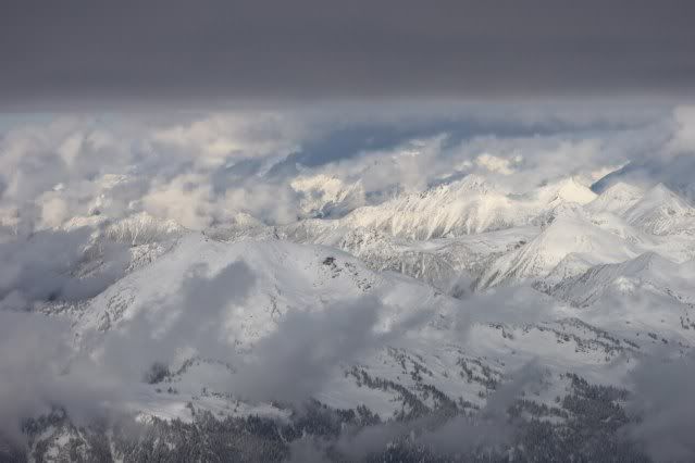
From the Mica Dam, we turned southeast and followed the Columbia Reach of Kinbasket Lake back towards Golden. We wanted to fly over the lodge at Chatter Creek and the Hope Creek snowmobiling area, but once again poor visibility forced us to stick to the lake. Here are a couple of glaciers we passed on the west side of Kinbasket.
We stopped in Golden to fill the tanks again, then followed the Blaeberry valley over Howse Pass to Saskatchewan Crossing. Here’s a glacier we saw near Saskatchewan Crossing.
Once we crossed back into Alberta, the skies were clear again, back to blue sky.
We flew back to Red Deer, crossing over the Onion Lake area, then flew over the Ram Falls airstrip, and passed by Baseline Mountain on our way home.
We didn’t see much for snow, but got to explore some interesting terrain. We covered about 1300 km and had a great day of flying. I’ll probably go again in a few weeks and see how the snow situation is then. Thanks again to Kent for taking all the pictures.