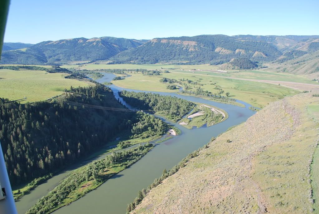
I have seen several other lines, actually maybe the same lines, a few miles away that have much bigger balls and more of them, on lines that are much lower and in areas (leading into a short dead end canyon) that no plane would have a reason to be flying. These are right in the frigging road for a sightseeing pilot or one flying below scud and following the river. Sure the ball thing costs money, but a notation on the chart is pretty simple and it might save a life and a big powerline repair bill. I also like the idea of the FAA doing something constructive, this is a good chance. I know they are all on hiatus, (and that's why I havn't flown for a few days
 ) but when they get back to work, what is the most direct and straightforward way to push this forward? I have the lat/long on file.
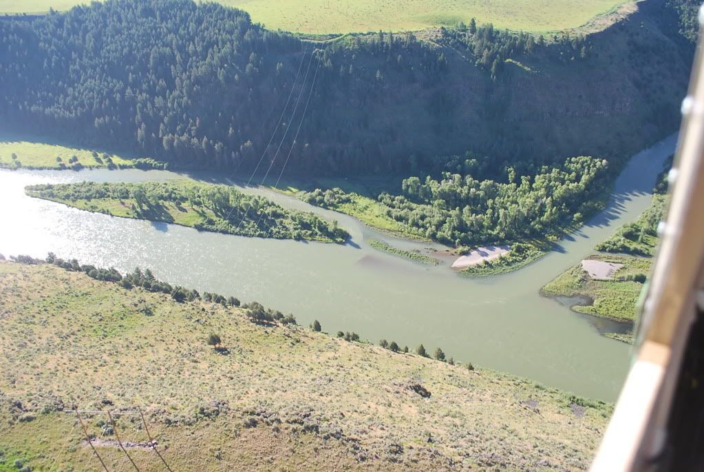

 ....
....