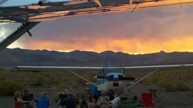
I won a $$$ bet on the following information. Everytime I fly in any direction from my Clear Creek place I'm reminded of Idaho's topography, and lack of emergency landing areas in a piston powered, single engine airplanes. However, somethings in life are worth the risk.
James
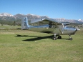
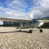
Clear Creek, Idaho
If all the lower 48 states were ironed out flat, Idaho would be the largest; its rugged terrain with towering cliff sides, pine-forested peaks and deep canyons make Idaho's natural scenery one of the wildest and striking in the U.S. The southern half of the state is much lower in elevation compared to the north. The Snake River forms the western border with part of Washington and Oregon before turning into the state and bisecting the southern half, meandering through the fertile Snake River Plain in the eastern part of the state. The Bitterroot Range serves as a natural border with Montana, and further east, the Clearwater and Salmon River mountains extend for miles into the some of the most isolated regions in America. Native Americans had long settled in the region of Idaho, the most dominant groups being the Nez Perce in the north and Shoshone in the south. The Lewis and Clark Expedition traversed the northern terrain of Idaho, becoming the first Europeans to explore the area. Missionaries and fur traders began to settle the area in the early 1800's, but it was not until 1846 that the U.S. established a permanent foothold in the region. Some 14 years later the first organized town, Franklin, was set up by Mormon pioneers (who thought they were in Utah). In 1863, the Territory of Idaho was at last established, though the borders remained in dispute until 1868. On July 3rd, 1890, President Benjamin Harrison signed in Idaho as the 43rd state to enter the Union.[/i]