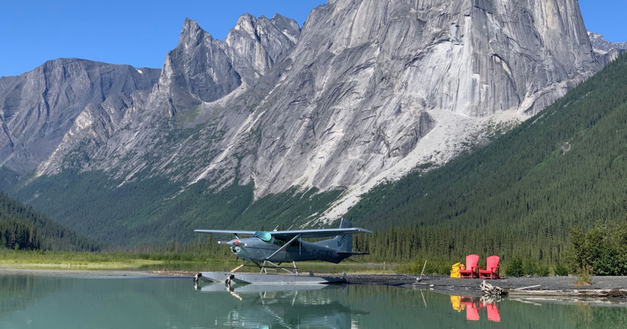
Every trip of mine starts with an ambitious flight plan. It gets cut down over time to a more realistic set of goals, with fuel stops and campsites inserted along the way. Then it gets attached to the calendar for the first time, and life takes a few swings. Work gets in the way, weather refuses to cooperate, and I realize that flying 1,000 miles in a snowstorm with 50 knot winds isn’t very possible or fun. Things are postponed in hopes of a better window. So it was with this trip, out to visit Western Montana.
I had high hopes for three full days of flying—dipping my toes in the northern Rockies close to Idaho (another state that has been on my mind lately). With a front moving through, however, my day 1 was looking pretty terrible in the forecasts. Rain and snow, mixed with 35-50 knot winds in not just Montana, but Wyoming and Idaho as well. I whittled things down a bit, content with a two day adventure to at least see some of the most remote Forest Service strips and visit family along the way.
DAY ONE
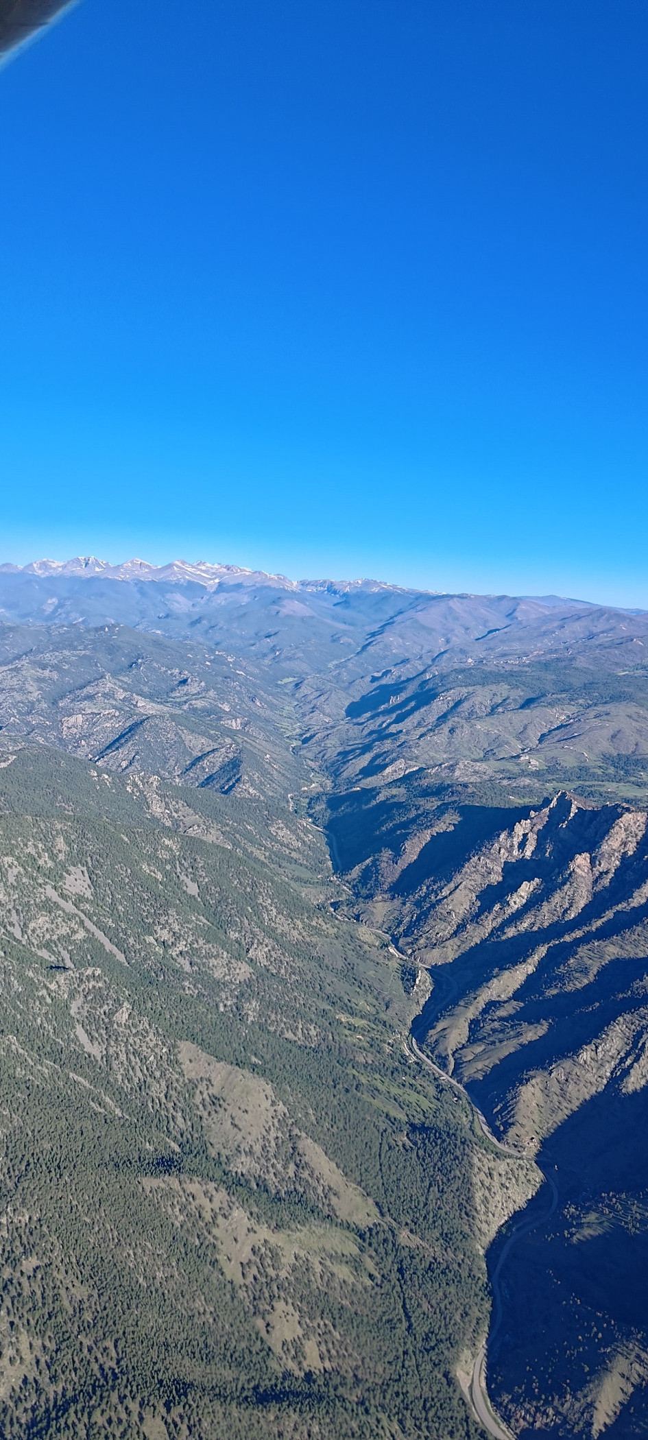
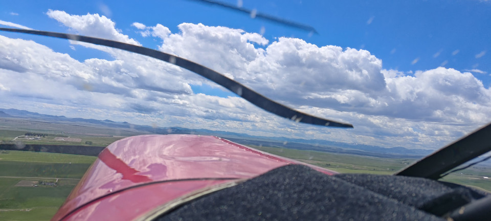
My new day one began with a morning departure over the Front Range. I had waited and waited for the winds to die down, but alas they just weren’t going to relax in a reasonable time frame. I resolved to point myself at Cameron Pass, and when it inevitably got rough, turn north and go the long way around. To my surprise, I encountered only smooth headwinds! Just half as bad, though twice as slow. At one point, transitioning from one ridge to another for some lift, I looked down to see 40 knots over the ground! Yikes! Yet dropping into the North Park area, winds died down significantly, and I was back to my standard 100 knots of ground speed. How fun.
Passing the sand dunes near Walden, I listened in on a conversation between two other pilots. They appeared to be two Wyoming based Huskies, bound for some backcountry adventures in Idaho. Our paths were the same until about Yellowstone, where they cut west and I (about an hour behind them) was to continue north. I’d love to hear what kind of adventures they got up to.
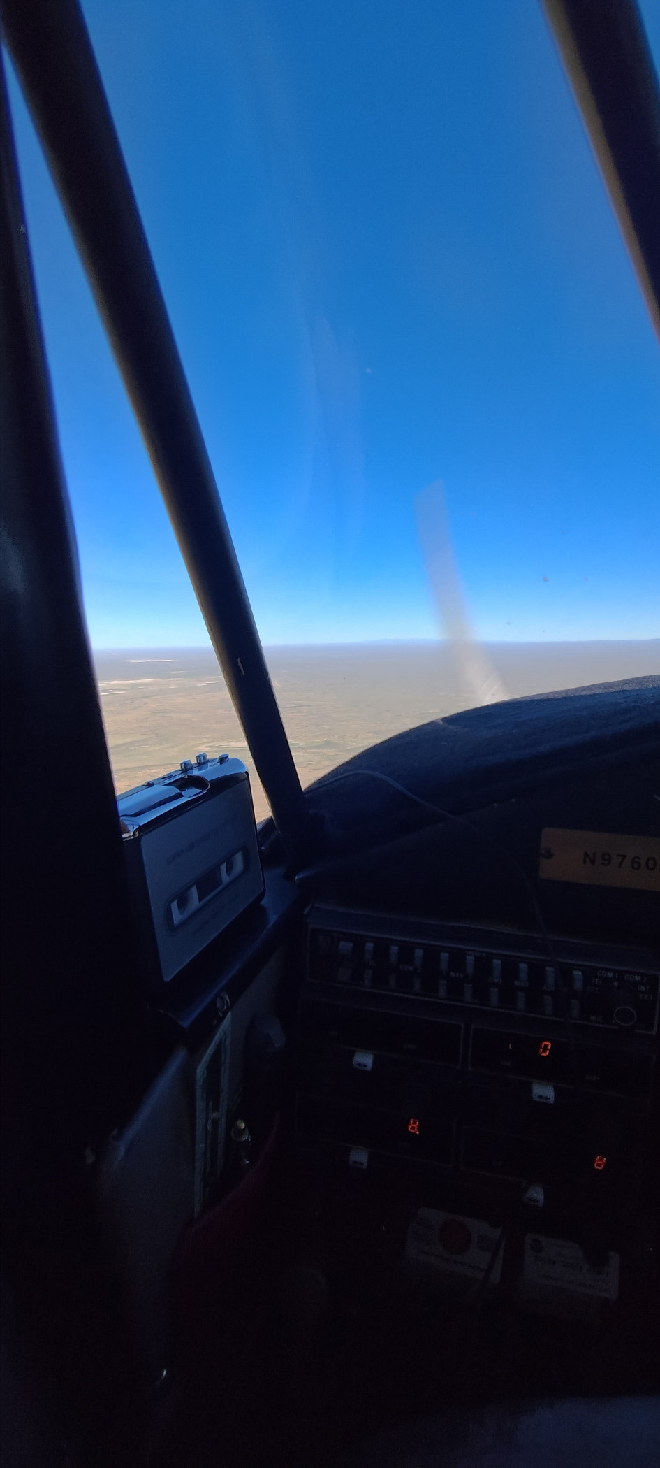
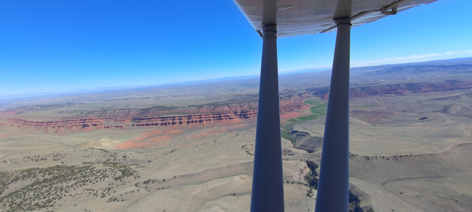
In the meantime I meandered my way to Rawlins, and chatted with a pair of helicopter folks while getting gas. They were on pipeline patrol, which must’ve been a tooth rattling ride in the squirrely Wyoming winds. I paid my bill and flew an overhead departure, turning northwest again towards the Wind Rivers. Navigation couldn’t have been easier—just point at the snowy peaks! Betsy and I jammed out to a custom mixtape my wife had made me, making the time and miles zip by. Before I knew it, Lander was close, and we admired the nearby red rock ridgeline for a few miles before passing by.
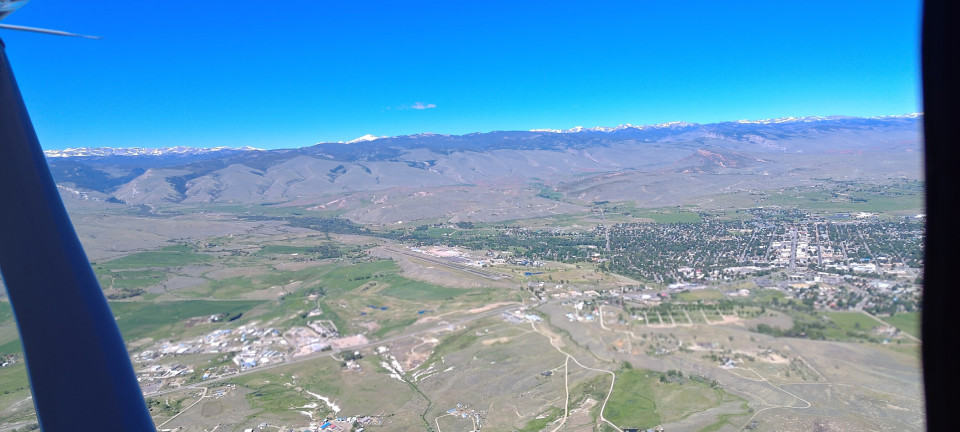
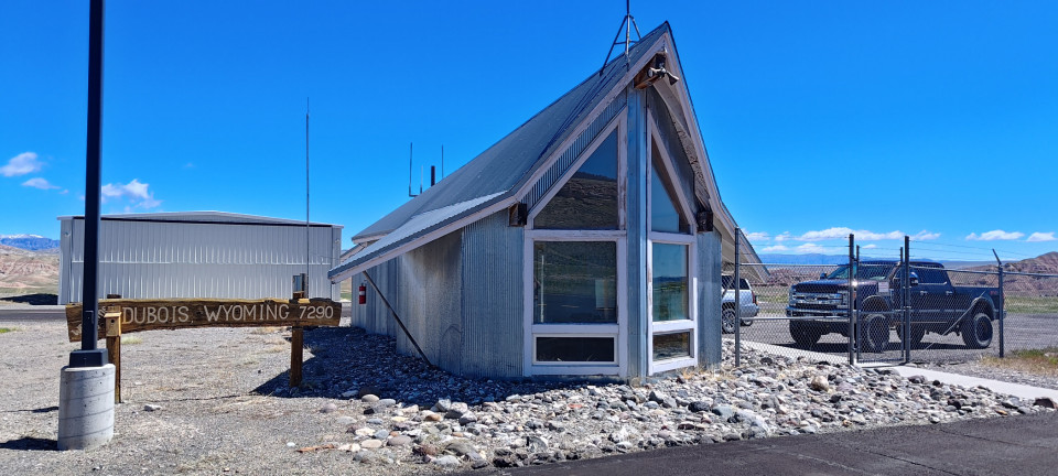
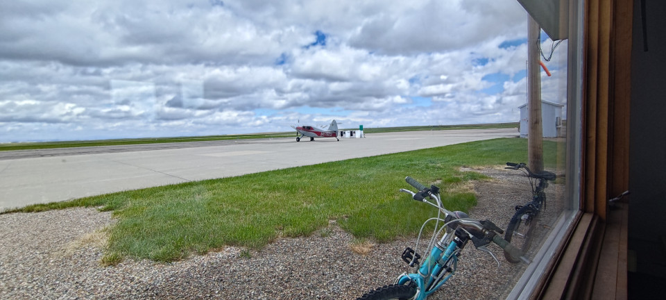
Dubois is proving to be a favorite stop in of mine. The gas is cheap, the pilot shack is great, and I have yet to run into any traffic. Winds were calm this morning, and my only gripe was the airport truck that decided to drive from the thousand footers, across the runway and up it, allllllllll the way to the taxiway just as I was on a short final. He didn’t respond to my radio calls, so I just slowed down and floated a little extra to give him the time to exit. He also didn’t stick around after I landed, so no chance for me to ask him just what he was thinking. I got my gas, signed the register, and was on my way again.
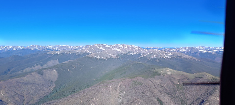
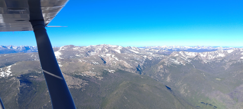
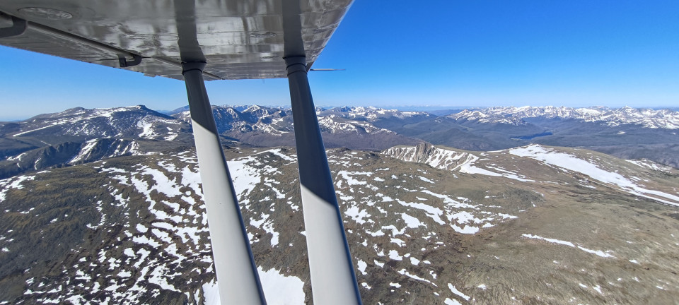
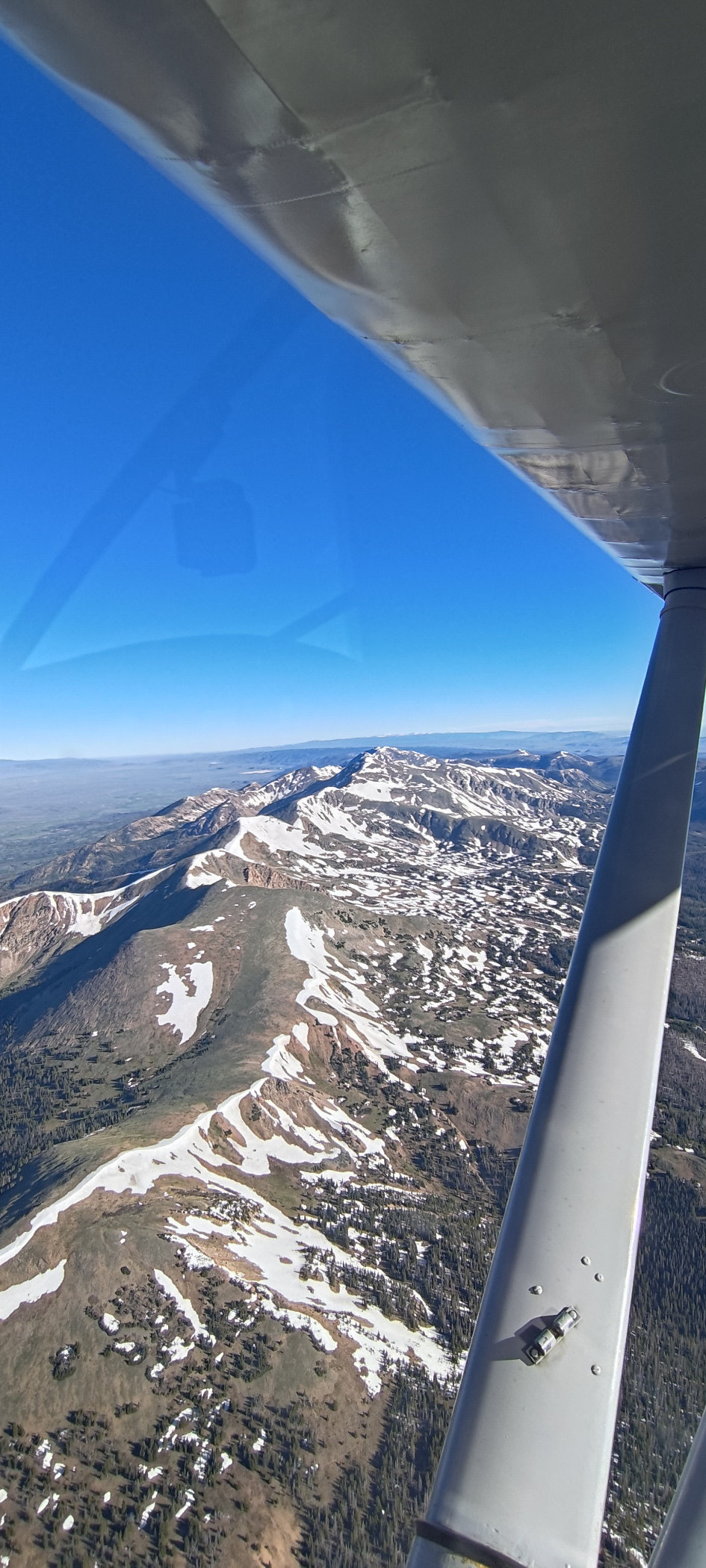
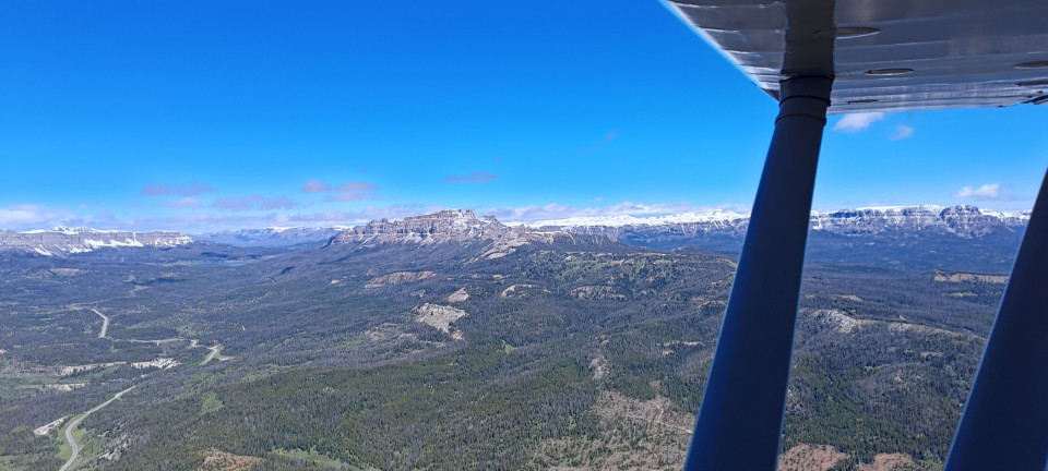
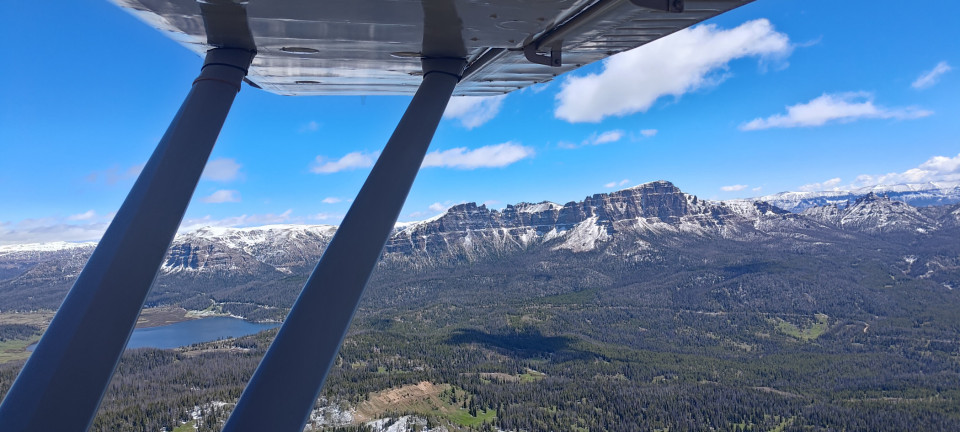
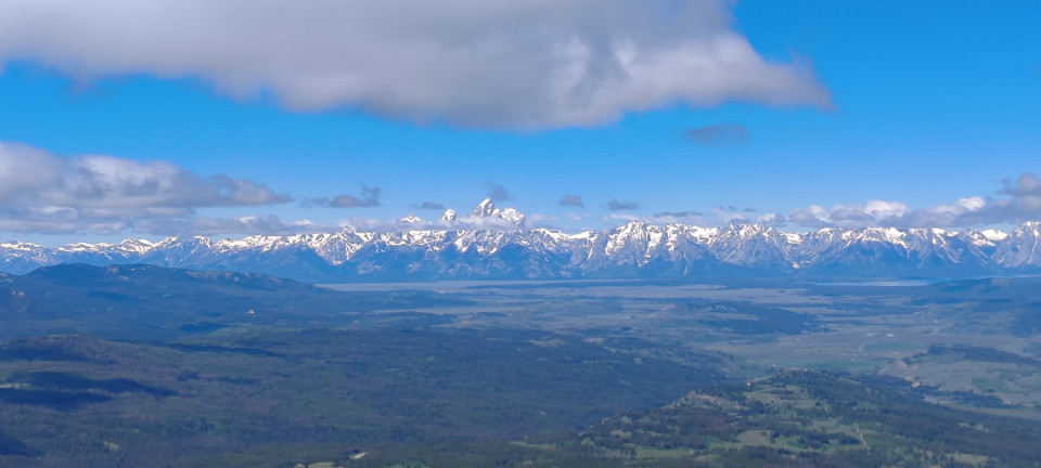
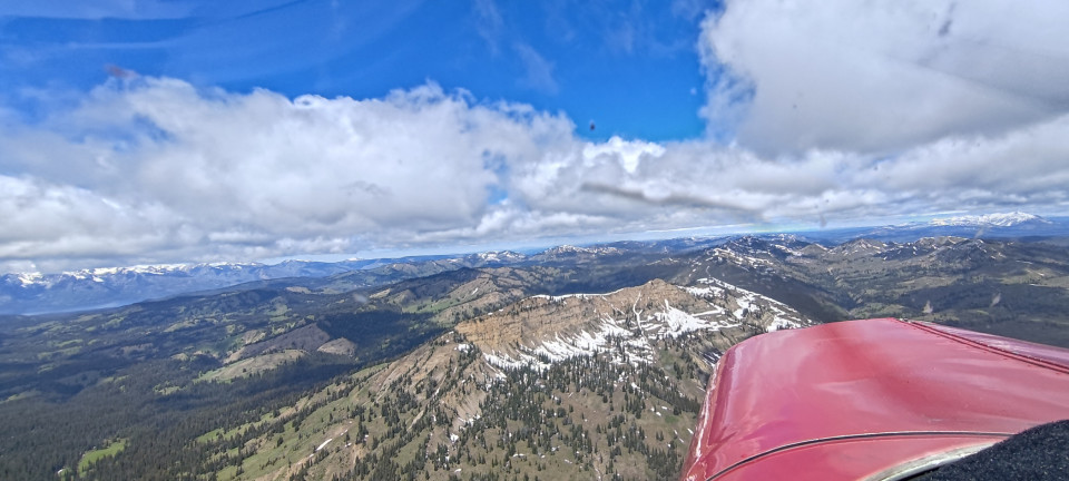
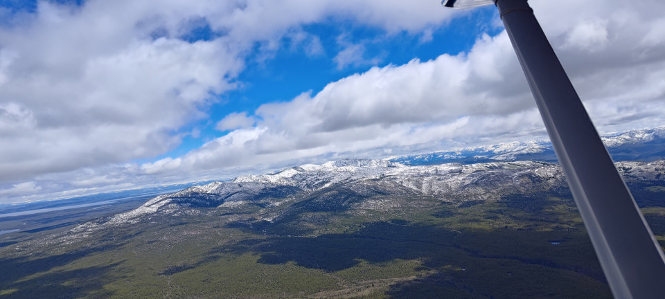
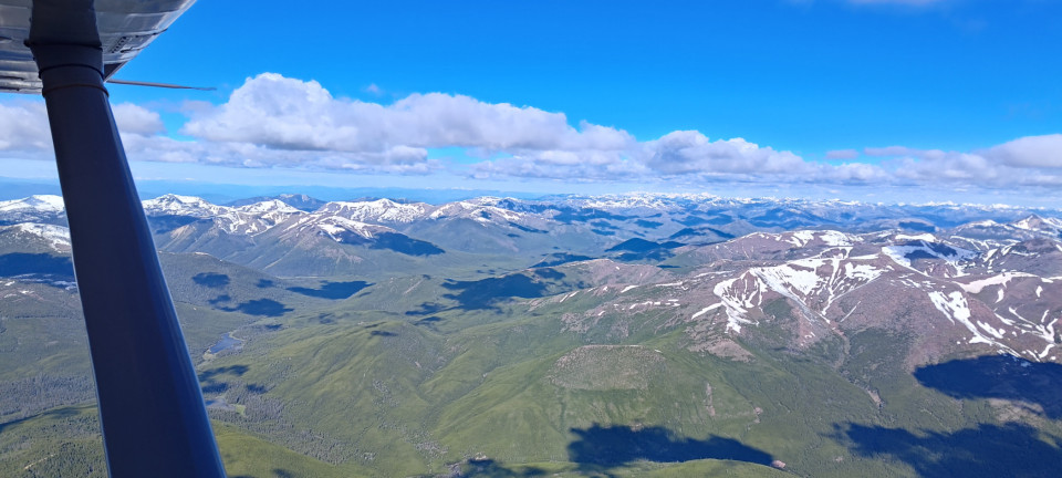
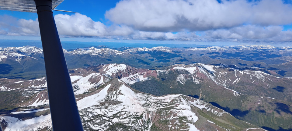
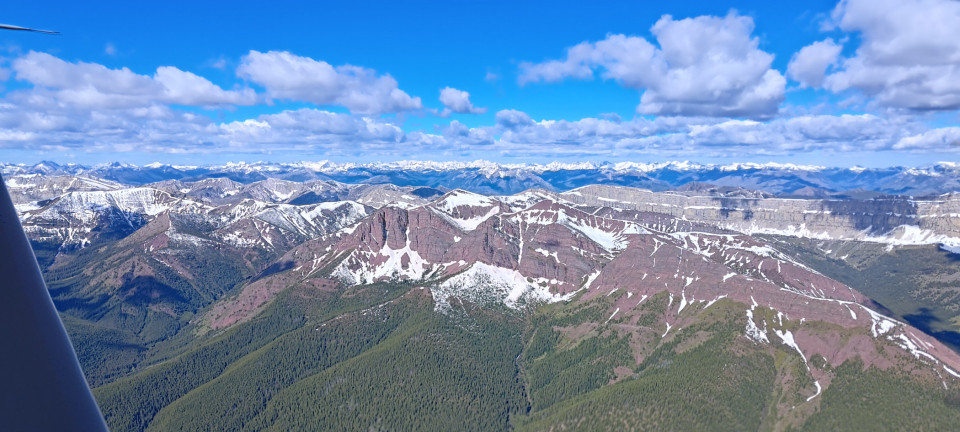
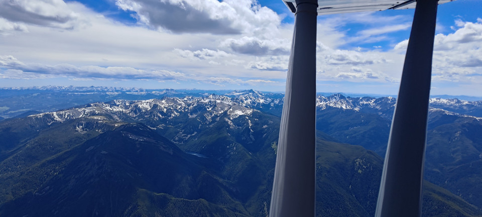
Now the real scenery began! Togwotee Pass was first up, but even before getting there I was “ooh” and “aah” -ing at the beautiful mountains of the Washakie and Teton Wildernesses. There seemed to be plenty of snow left on the peaks around here—a trend that continued as we flew farther and farther north. Soon the Tetons themselves were in sight, and I had the great fortune of admiring the Grand Teton poking through a cloud layer from afar. Everywhere was so green!
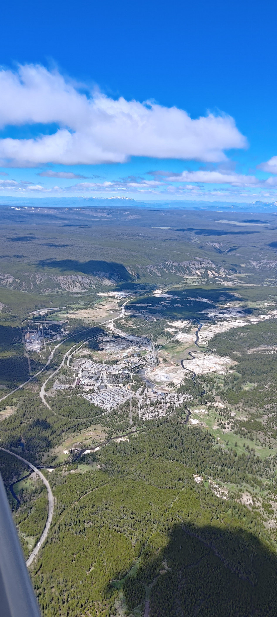
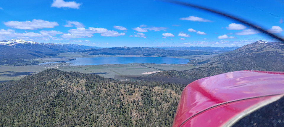
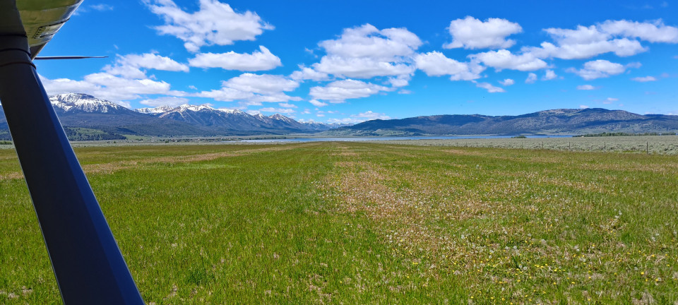
We crossed over Yellowstone, deviating slightly to check on Old Faithful. She was only steaming, though plenty of people crowded around regardless. Perhaps I could’ve circled to wait, but Betsy yearned for some grass. And there’s only so much daylight! We continued west to Henry’s Lake. This lovely strip is situated between a big ol’ hill and the lake. I took a minute to circle, then arced around the hillside to make my low approach. It looked great! I landed to the east, and was amazed at how nice of condition the runway was in. Dandelions covered the east end, and with the lake in the background, I began to regret not getting to spend the day camped here. There looked to be a nice picnic area as well. With a vow to return, Betsy and I took off west and climbed over the lake, taking Raynolds Pass north into Montana.
What followed was an hour and a half of lovely, scenic cruising. We passed Big Sky and Sphinx Mountain (what a neat shape!) before crossing west between the Ruby and Tobacco Root ranges. I wondered how Hollowtop Mountain got its name, before noticing a large mine tailing up on its side. Hmm. Next up was Butte, where I spied the big old statue of Mary, and the even bigger copper mine pond/lake north of town. Finally, we dropped into Deer Lodge for what would be an interesting fuel stop.
A note on ForeFlight had given me the idea to look for a gravel strip on the north end of the airport—however it turned out to be a construction driveway, and was even marked closed on the airport map. The winds were reported calm by the AWOS, and the wind sock seemed to agree. I touched down on 13, and was getting ready to lower the tail—BAM! The force of ten thousand hair dryers gusted me from the right rear quarter. I corrected, and was just getting back to center when SMACK! Another gust yanked my tail from the same way. I’d had enough, and went around. Climbing out over the runway, I saw the sock still hanging limp from its post. I decided I must have found some strange mechanical turbulence, and came back around for an uneventful landing on 31 instead. Taxiing onto the ramp, I checked the AWOS again—winds calm. Figures.
I hopped out to start the “self” part of the “self serve fuel” process, and immediately grabbed Betsy by strut to prevent her rolling forward into the fuel farm. Whatever genius decided a ramp sloped this way was a good idea…and provided no chocks! I grabbed my own set to avoid an expensive repair bill. Then I saw the ladder. Most airports will have some variety of step stool, ladder, or similar to allow us high-wing folk to gas up our airplanes. As a 8.50 enjoyer, I appreciate this greatly, since my lack of balloon tires means I cannot see into my tanks. However, Deer Lodge provides two options for this: a large, white ladder, painted entirely the same white as the rest of the fuel farm…and a rickety wooden stool. I missed the camouflaged ladder entirely, and was less than amused when the wooden stool shook like a leaf when I stood on it. It also displayed a plaque, stating how it was generously “designed, built, and donated” by a local company. I wonder if they might generously provide something a little bit less likely to kill me.
The FBO, while not exactly obvious, was very nice inside. It remains the only FBO bathroom I’ve ever visited with a heated toilet seat. Neat. I took some skittles from the candy bowl and was on my way.
Flying west, we followed some power lines over the hill to Drummond. It was short, sweet, and exactly what I needed after the annoyingly strange weather at Deer Lodge. Drummond is a grass strip on a large hillside, and after an inspection pass, Betsy and I dropped in for a very enjoyable touch and go to the west. It was very green, very smooth, and the winds behaved completely. What more could a roaming tail dragger ask for?
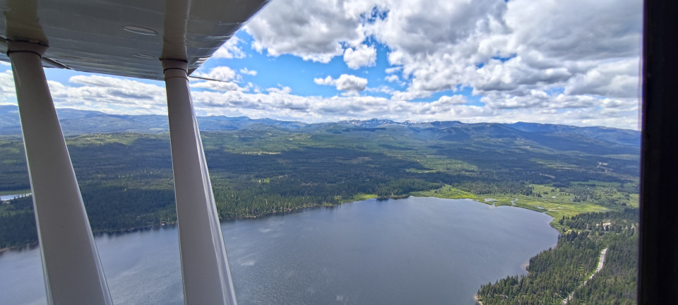
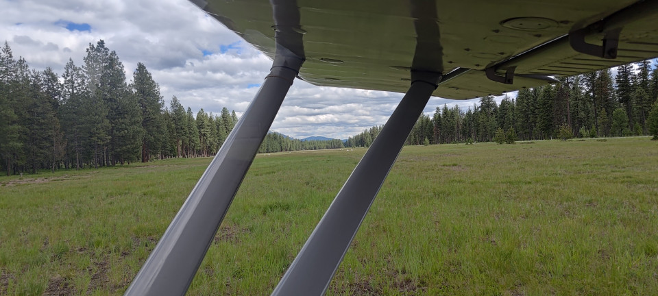
We climbed up and over a sixty-eight hundred foot ridge before dropping back down into Seeley Lake. Could we have flown around? Sure. Would it have been faster? Maybe. But it also would’ve been much less fun. We then gave Seeley a look, and decided a full stop was not only necessary, but the most enjoyable way to visit for now. I first thought the north end of the strip was a touch muddy, but quickly realized it was just the color of the weeds growing there. In fact, the runway was in perfect shape! I admired the hangar houses, and took a couple ideas with me for my future build. One day.
The cement run up pad was another idea I loved, and wish I saw more often at unpaved strips. It doesn’t take much to save a lot of prop damage! We took back off downhill, and climbed out over the lake to go find our next landing, enjoying the lakes and rivers passing under the wing along the way.
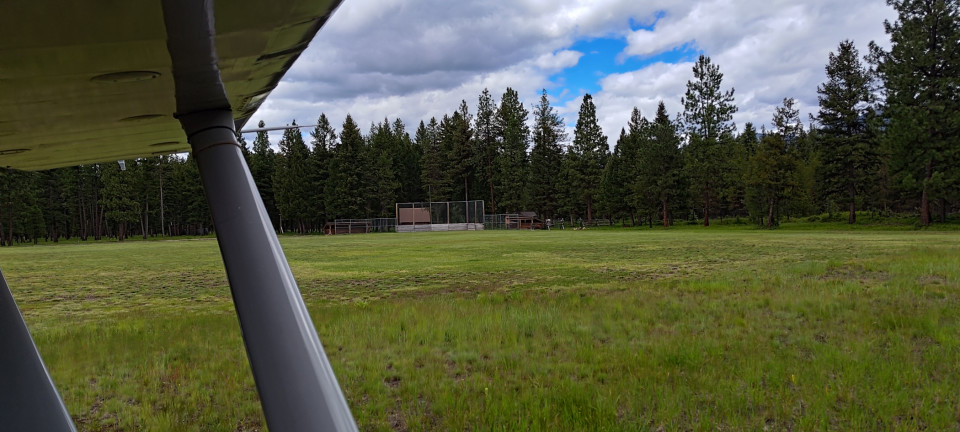
Condon was the first official USFS strip of the day, and made for a great warm up. Plenty long, with tall trees on both ends, and a flitting, twitchy wind to keep things interesting. I noted some gopher holes to avoid, and wrapped back around for a landing to the south. Taxiing back, I noticed a baseball diamond at the north end of the runway. I wonder if they’d mind Betsy playing Outfield? We departed again to the south, before a climbing U-turn to head into the mountains.
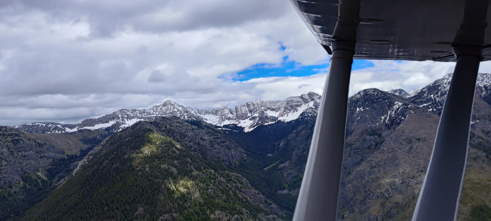
As a lover of high places, I was excited to fly by Swan Peak on the way to Meadow Creek. Sure enough, it was gorgeous, though we had to admire it from a tad farther away since the peak was juuuuust dragging through the cloud bases. We got a good rocking and rolling on the subsequent descent into the valley with Meadow Creek. Betsy handled it well, and we kept the airspeed comfortably below maneuvering all the way down.
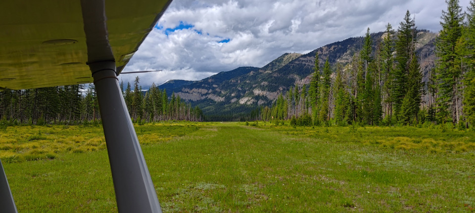
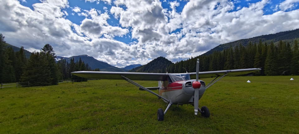
Things at Meadow Creek looked great from overhead, and Betsy enjoyed a textbook roller onto the up-sloping runway. I took a few minutes here to hop out and wander the camp area, which had a nice bathroom/work shed combo. Just about every tool one could need to fix up the runway, they had. I once again signed the register, before starting up Betsy again for the next hop. We taxiied up the runway, which got a bit thinner towards the top, and made a downhill departure over the ravine. I will say, the second row of trees that come up past the runway could be real show-stopper if performance was less than expected—they certainly surprised me, and I was well above them!
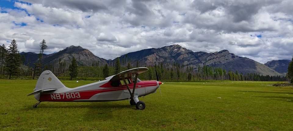
Spotted Bear was not bad at all—what’s more, it was very fun! The north end of the gravel strip has a big ol’ dog leg to it. It would be trivial, given the length of the runway, to just land past the bend…but I had a much more fun time landing on my right tire, and rolling around the bend until it straightened out before putting down the left. I’m likely to come back just to do that again.
Schafer was the last of the USFS airports, and based on my reading ahead of time, the most remote. Every other strip had some variety of road nearby, which means fairly easy access to civilization. Not Schafer. A ForeFlight comment (of all things) told me that everything brought into the strip has to be packed in by human or horse/mule power, since the Forest Service doesn’t use airplanes. This ended up being mostly true, though it seems people are sometimes moved by air. Area businesses, for example, move rafters up river this way. I was able to see one group preparing to float as I overflew for my first inspection pass.
Still, I was determined to offer the folks at the Station a treat that was highly valuable to me at least—chocolate doughnuts. I wasn’t sure the folks there would share my love of chocolate goodies, but it seemed worth a shot.
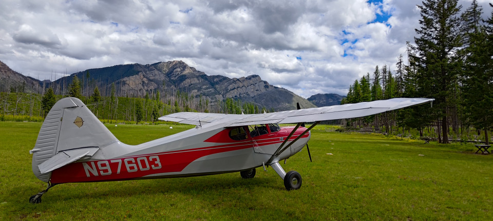
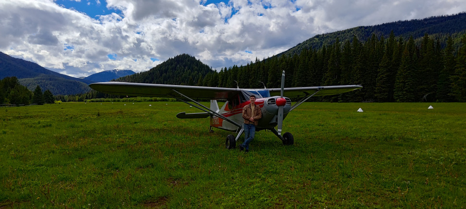
After touching down on 25, I was greeted by Dave, the Ranger manning the station. He was kind enough to give me a tour of the place, and share some stories and neat facts from the many years of folks living and working the post. I even remembered to give him the doughnuts! I asked him bluntly what a person wants for out there, and his response shouldn’t have surprised me. Being as the FS covers all meals, and the folks who sign up for the job are typically the outdoorsy type, they don’t lack much of anything. Which I think is a refreshing thing to hear as a visitor. He did mention beer being popular, but since I don’t myself drink, I’ll have to stick to sweet treats.
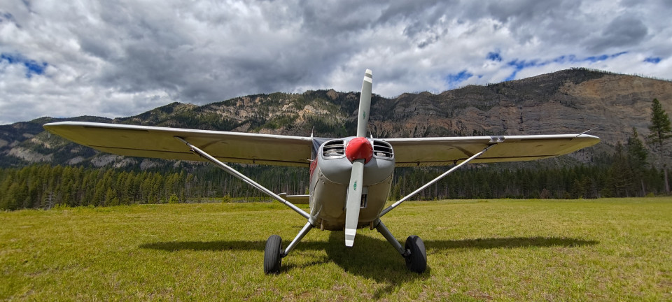
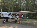
I could’ve chatted a lot more, and would’ve enjoyed the campground just east of the field immensely, but I still needed to get to Helena for the night. Before I left, Dave was kind enough to snap a picture of me with Betsy. Those kind of pictures are somewhat rare for me, so it’s immediately one of my favorites. I had one false start when I noticed one of my floorboards had slid out of place, allowing for an unexpected view of the grass below. Thankfully a quick shut down allowed me to pull it back into place and be off.
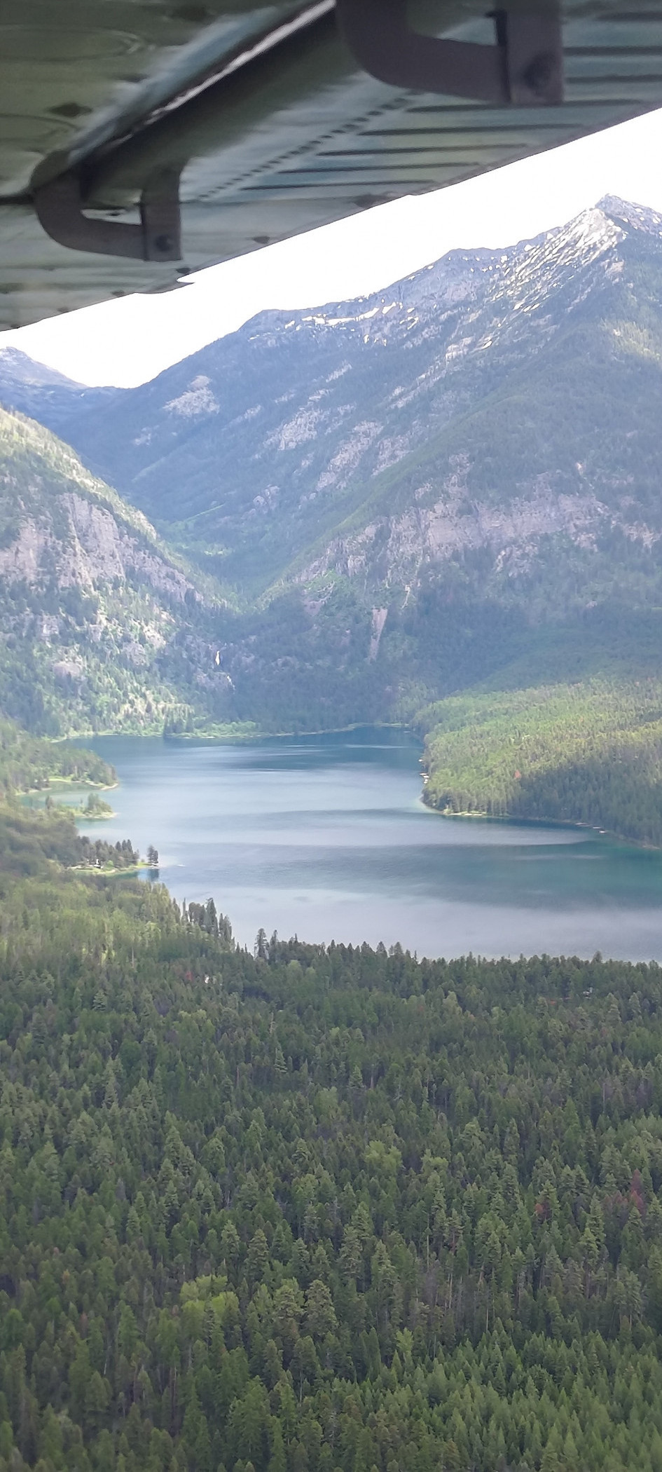
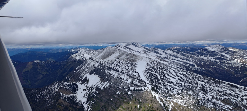
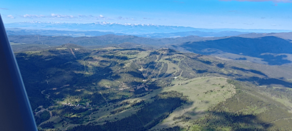
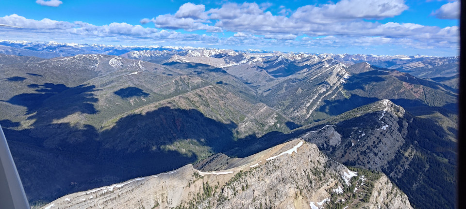
The long, final leg south allowed me to do another one of my favorite kinds of flying—riding ridge lines. The wind had been out of the west all day, and with its help, I was able to climb quickly up the western side of a ridge near Schafer and cruise quickly along it. Betsy is more than capable of the climb from 4,800’ up to 11,500’ to meet the altitude requested by the Wilderness Areas…but having the atmosphere and local topography help is much more satisfying.
We rode along until the ridges diverged from our course, then made a relaxed descent into Helena. The wind there was relaxed, comparatively. Only 10 gusting 16! We made use of the lovely “28 turf” for landing, and before long Betsy was put to bed and I was eating pizza with family. I slept hard that night, after a good 9 hours of flying.
DAY TWO
After breakfast and some good byes, Betsy and I departed northwest for another day of adventure. Our first stop was Lincoln, a lovely little paved strip in a similarly lovely valley. The morning was calm, and we gave a fire watch tower a wave as we passed by their ridge. Dropping down over Lincoln, we passed overhead for left traffic to runway four. A quick touch and go showed the camp ground, and plenty of houses and cabins nearby. We climbed away to the east, before turning north towards the Scapegoat Wilderness.
Next up was Benchmark, another paved strip. This one resides in a much tighter valley, and on the way in I saw another fire lookout—though this one was far more remote, on a high ridge around 7,000’! It didn’t seem to be occupied this early in the season, but I circled and waved anyhow. Dropping into Benchmark, the reports were correct. Weeds about a foot tall poked up through the pavement, though none were substantial enough to bother an airplane. I landed uphill, took a moment to read the sign in the parking area (complete with ropes!) and departed again to the northwest, climbing out over yet another fire lookout. I’m going to have to fly back in and hike up to some of these, they’re incredibly scenic!
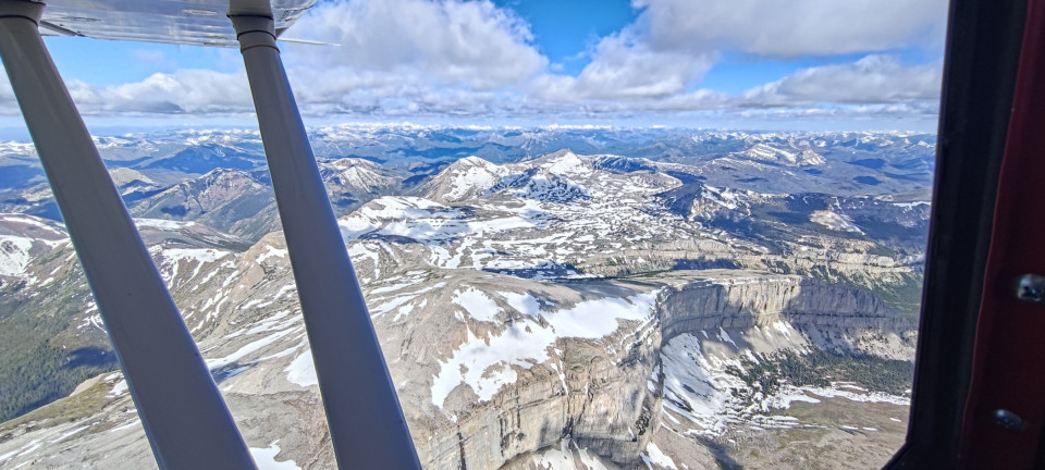
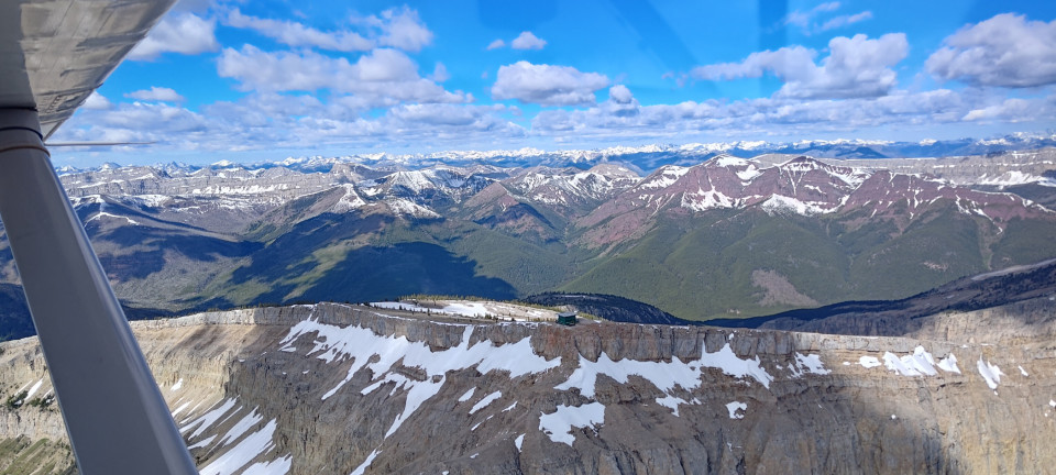
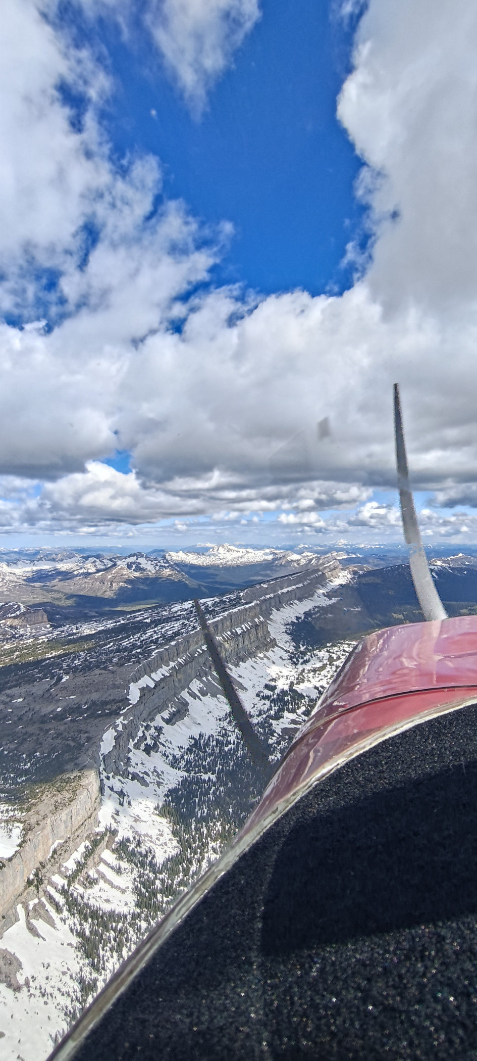
Part of the day’s mission was to find the “China Wall” or “Chinese Wall” that a few folks had mentioned. I really only had a vague Google Maps pin to go off of, but it became obvious quickly enough—the ridge looked like the Great Wall of China! Well, a section of it anyhow. I flew northbound along it, and was amazed at the sheer drop off its eastern side. For those looking to find this themselves, it’s marked with the words “Continental Divide” on the Sectional, and is northwest of Benchmark.
I cruised a ways northbound from there, passing back over Schafer and eventually descending out of the mountains entirely. Starr-Browning was next on the list, which from my brief visit appeared to be a farm strip. I kept my stop brief, and went north. Alllllll the way north.
To Whetstone! One of two International (grass) airports on the docket, Whetstone appeared to be very well kept and official. So well kept in fact, that they were currently in the process of mowing the grass! I tried hailing on the radio, to no avail. So instead I flew a long, offset final to get the mower’s attention. He noticed and pulled over, so I gave a little wave, and once past him, sidestepped back over to the runway for a quick touch and go. Talk about nice grass! Betsy and I climbed back out east, and headed over to our next international destination, Ross. It was not as nice, with a beat up road and tired looking markings next to the runway. Admittedly, there were only a few gopher holes. I gave it an inspection pass, then wrapped back around for another touch and go. I was by this point getting ready to stretch my legs, get gas, and have lunch.
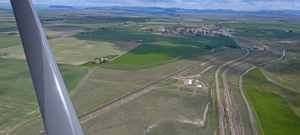
But first I needed to check Cut Bank off the list. From above, this airport must’ve once had about 8 runways, though time had taken the list down to 2. Long swatches of grass and old pavement indicated a whole northwestern complex of runways that had been given over to farmers next door. I chose to use 23, based on the winds, and it wasn’t long before Shelby Airport was next in my windscreen.
Here I needed a few things: fuel, lunch, a water refill, and a bathroom break. Despite the winds keeping up their blasting gusts, Betsy and I taxiied up to the self-serve to cross the first item off our list. While I rolled out the hose and swiped my (poor, helpless) credit card, a tractor-mower combo rolled up. Out jumped a gentleman who introduced himself and began helping me fuel. Talk about hospitality! I was happy for the help and a little conversation, before he went back to mowing and I wandered inside the FBO building to check off the rest of my list. I made and devoured a sandwich, cookies, and goldfish crackers while admiring the old Montana aviation charts from yesteryear. My friend from before was still mowing as I left, so I was sure to give him a friendly wing-wave on departure.
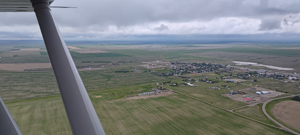
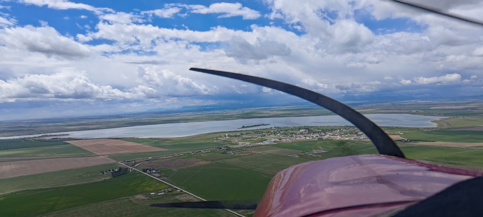
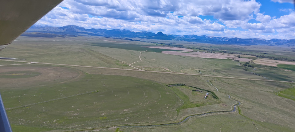
For the next few hours, I zig-zagged south over the plains, tagging all sorts of little strips, each with plenty of character. Valier had numerous, lovely grass runways—but was also swamped with seagulls from the nearby island in Lake Francis. After a quick lap in the pattern, I ducked out before anything fowl could happen. Conrad had a particularly sandy “grass” runway into that I was happy use. The winds at Choteau favored runway 5, and I found myself distracted on short final by the enormous McMansion with a strange triangular earth formation in the yard. Dutton advertised a few hundred feet of grass in addition to their pavement, but it was on the wrong end for my touch and go. The high road just south of the numbers (in the AF/D) was no joke either.
At Fairfield, winds were light and variable, so I tempted fate by using the east/west grass. I did not expect the consequence to be a shotgun spray of bugs over the entirety of my windscreen! Departing west, I rolled through the intersection of the two runways, and was smacked by a whole cloud of yellow bug guts. I suppose I could’ve come back around and hunted for somebody with a can of Prist (the cleaner, not the fuel desiccant), but Betsy and I had places to be! Like Augusta, where it was back to Windy-Gusty-Bumpy from no clear direction. I started my pattern for a north landing, swapped around on downwind, then watched on final as the sock swung back around. I wonder if anybody has ever considered generating power with some of these energetic wind socks?
A long, cruisy leg brought me south past Helena again, for a few landings near the Canyon Ferry Lake. Helena’s ATIS was reporting “windy, gusting stoopid” so I was prepared for the turbulence as I descended towards the lakeshore. Boats were flying (metaphorically this time) out of the lake, as fisherman fought to get their vessels onto a trailer at the boat launch. Meanwhile, I slipped and dipped and flailed about on final, until finally getting the left wheel down in between gusts on the nearby gravel strip. The right followed soon after, and I was more than pleased to take back off and ride the gale south to Broadwater County. Here was another example of the grass short of a runway looking perfectly landable, but no documentation to back it up. I was forced to make a mediocre landing on the pavement instead.
My final stop in the area was Three Forks. This turned out to be a lovely general aviation spot; with plenty of tailwheel aircraft in the tie downs, and even a friendly Cirrus in the pattern. I think this was the only airport of my whole trip besides Helena where I saw any other air traffic! The winds were much more chill, and Betsy and I enjoyed a brief release from the day’s turbulence while refueling. Departing later for the mountains, the airport once again came alive with calls of skydivers, student pilots, and the like. Time to get scarce!
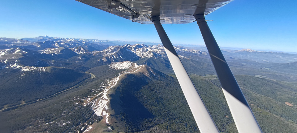
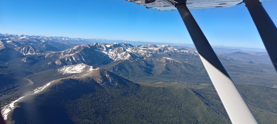
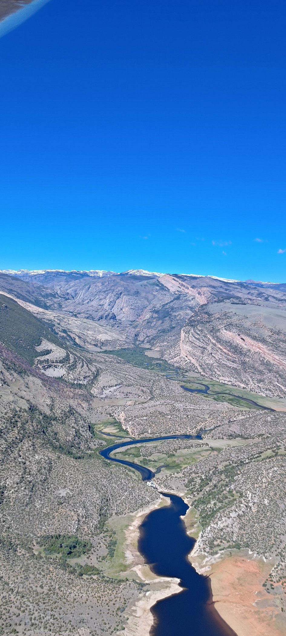
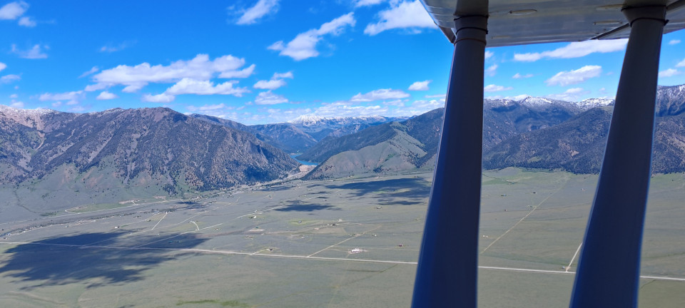
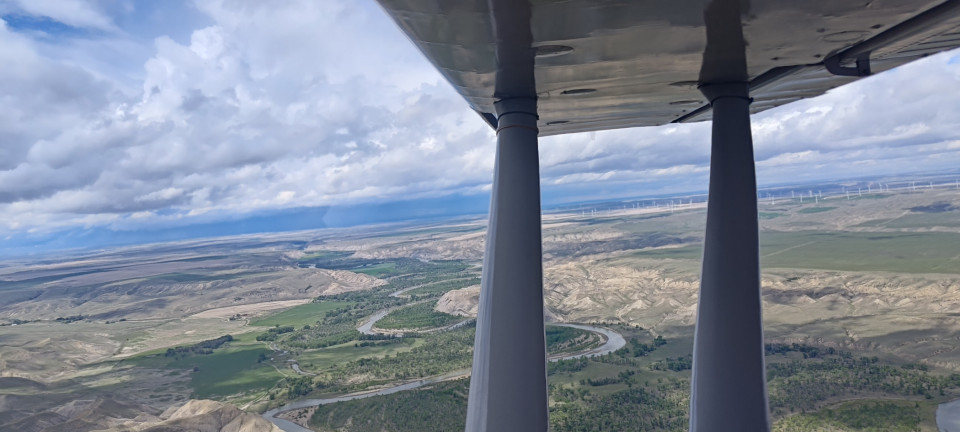
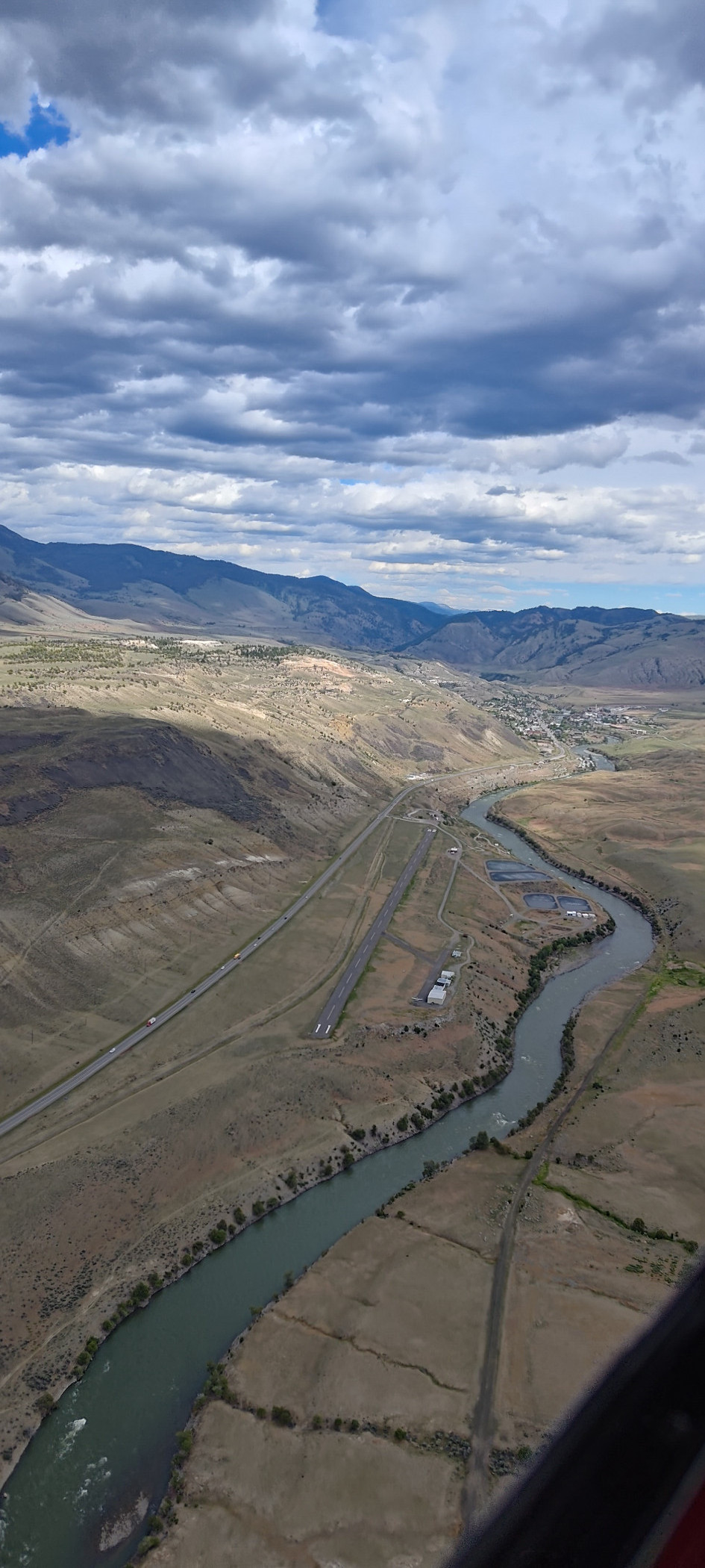
In my career as a charter pilot, I flew at least one trip to Big Sky. I remember because circumstances dictated we not stay, and I regretted not being able to explore such a cool place. And yet, I cannot find any record of visiting the field in my logbooks. I pondered this contradiction between my memory and paper trail as Betsy and I climbed up high over the mountains between Blackmore, Chisholm, and the Lee Metcalf Wilderness. We didn’t remain high for long though, as one final treat remained—Gardiner. Cut into the Yellowstone River’s impressive valley, this strip was quite scenic. The river thrashed below, bringing rafters along for what must’ve been a rough ride. On the near bank, a highway. The far bank, however, had a dirt bike path, which left me wondering “Can one bike up the river, then raft back down to where they started?” It sounded like a fun day. But the winds here were (you guessed it) gusty. So I was only momentarily distracted by the Cirrus with a fancy paint job and fancier propeller. Another wheel landing for the logbooks.
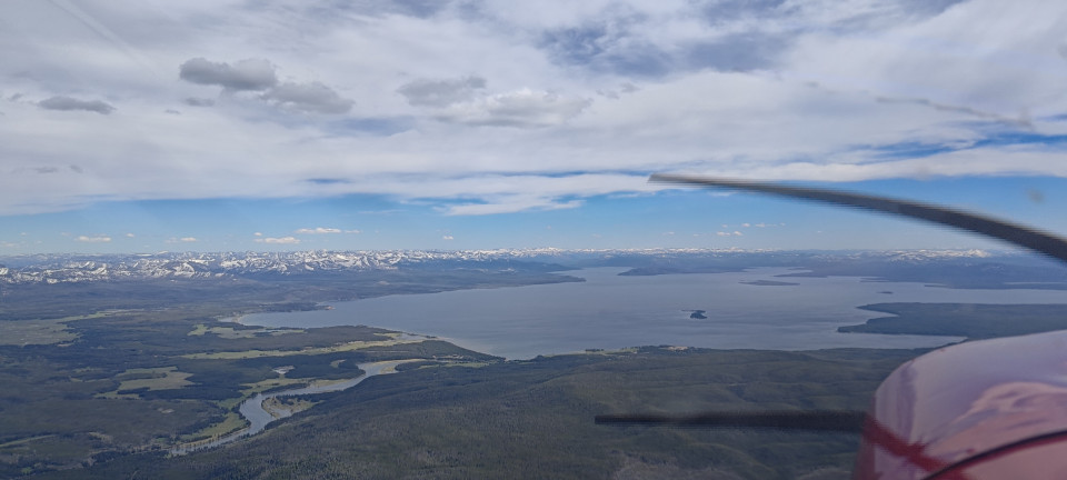
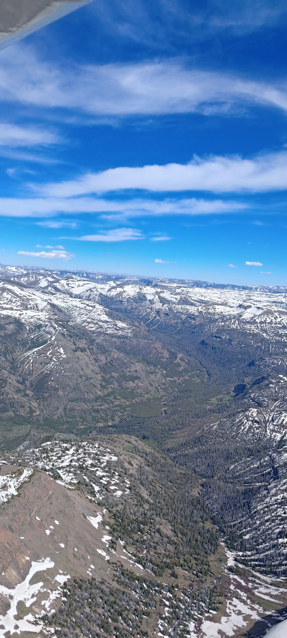
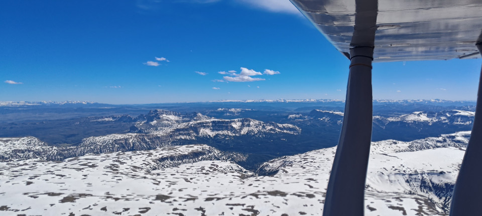
Betsy and I followed the eastern leg of Yellowstone Lake south to the Yellowstone River, finishing our time in Yellowstone National Park. Never did see a yellow rock. We were less disappointed by Teton Wilderness Area, which was full of snowy Tetons. What more could a person ask for?
Oh right, fuel. We needed some more to get home, and Dubois was once again the place to get it. Unlike our last visit, the atmosphere was in a real gusty way. The landing wasn’t much trouble, and the short taxi wasn’t bad either. However I was worried the entire refueling process that Betsy would jump her chocks in a blast of wind, leaving me to faceplant off the ladder and go chasing her down the ramp. It wasn’t that far to a nearby Malibu, and I could only imagine how much more expensive a day that would’ve been. Luckly the wooden triangles were enough, and with full tanks we struggled back to the runway for the long leg home.
Betsy burns about 8 gallons an hour, and holds 36 usable gallons. This means legs of 350 miles are in theory possible with an hour reserve. I’ve done a few such flights, and found my thigh muscles ran near their endurance limit before the gas ever got low. However, the flight home from DUB was only 300 (following some VORs added a few miles). We found 11,500’ to be a good balance of smooth and tailwind, and so hung out there for the remaining hours while I listened to music, a few podcasts, and ate snacks in between adjusting VOR stations and radials. I even gave flight service a call to check on the weather at home, and gave a pirep for good measure. They seem to like those.
After finishing my last bag of The Snack That Smiles Back, good old Fort Collins came into view, and I made a leisurely descent while following the foothills south. Betsy coasted over the fence onto the grass runway at home, and I rolled us down to the hangar just as the sun began to approach the western horizon.
CONCLUSION
This was not the all-encompassing trip that many of my other states have been, and that’s just fine. Despite being two days full of flying, I still had time to slow down and enjoy pizza and ice cream with friends, chat with locals, and dilly-dally over cool rock formations. I was already eager to plan my next visit on the leg home, so I’m sure it won’t be long before Betsy and I make a return journey, at least to the western half of Montana. I can’t say I’m as eager for the east side….especially with Idaho right there…
TOTALS: 18.6 hours, 30 landings.
All the Airports in Montana
Thu Jun 18, 2026 4:01 pm

Thu Jun 18, 2026 4:15 pm












Fri Jul 10, 2026 2:00 pm
Re: All the Airports in Montana
Nice report, and thanks for all of the pictures. They bring back memories and make me want to get back.
One place I was surprised not to see was Babb. Then I looked at Foreflight and saw that it is no longer charted. The one and only time I went into Babb was to catch a ride up to Many Glacier lodge for a few days. The Babb strip was (and presumably still is) a cow pasture. There were no cows when we landed, but there was plenty of fresh cow flop, and the Skylane got a liberal spattering. The field was smooth enough, but what with the mess, I was glad not to be flying a retractable. There being no water around, I just had to wipe off what I could and leave the rest to crust up.
When we got back to the plane a few days later, there was native rancher--an older gentleman (probably my age, now) leaning against his equally old pickup truck about 50 feet from the plane, giving us the stink eye when the van drove across the pasture and dropped us off at the plane. My smile and wave were not reciprocated. After an extra slow and careful preflight, we took off to the south, spattering more flop all over the struts and tailfeathers.
Asking around later, I learned that, while nominally a public use strip, Babb (49S) is owned by the Blackfeet nation, and drop-in use isn't welcomed by the locals. It was hard enough convincing someone from the lodge to pick us up there anyway, and I haven't thought of a reason to want to go back.
Another strip that was fun but is definitely gone is Sportsman's in Ennis. That was a short walk to the fair grounds and to town.
Ah well. Progress.
Thanks again for the tour.
Terry
One place I was surprised not to see was Babb. Then I looked at Foreflight and saw that it is no longer charted.
The one and only time I went into Babb was to catch a ride up to Many Glacier lodge for a few days. The Babb strip was (and presumably still is) a cow pasture. There were no cows when we landed, but there was plenty of fresh cow flop, and the Skylane got a liberal spattering. The field was smooth enough, but what with the mess, I was glad not to be flying a retractable. There being no water around, I just had to wipe off what I could and leave the rest to crust up. When we got back to the plane a few days later, there was native rancher--an older gentleman (probably my age, now) leaning against his equally old pickup truck about 50 feet from the plane, giving us the stink eye when the van drove across the pasture and dropped us off at the plane. My smile and wave were not reciprocated. After an extra slow and careful preflight, we took off to the south, spattering more flop all over the struts and tailfeathers.
Asking around later, I learned that, while nominally a public use strip, Babb (49S) is owned by the Blackfeet nation, and drop-in use isn't welcomed by the locals. It was hard enough convincing someone from the lodge to pick us up there anyway, and I haven't thought of a reason to want to go back.
Another strip that was fun but is definitely gone is Sportsman's in Ennis. That was a short walk to the fair grounds and to town.
Ah well. Progress.
Thanks again for the tour.
Terry
Sat Jul 11, 2026 7:16 am
Re: All the Airports in Montana
Very much enjoyed reading your trip report. Good job.
- flyingjack offline

- Posts: 348
- Joined: Thu May 19, 2016 8:21 am
- Location: Erie
- Aircraft: Husky/T206H
Mon Jul 13, 2026 5:01 am
Re: All the Airports in Montana
CAVU wrote:Nice report, and thanks for all of the pictures. They bring back memories and make me want to get back.
One place I was surprised not to see was Babb. Then I looked at Foreflight and saw that it is no longer charted.
When we got back to the plane a few days later, there was native rancher--an older gentleman (probably my age, now) leaning against his equally old pickup truck about 50 feet from the plane, giving us the stink eye when the van drove across the pasture and dropped us off at the plane. My smile and wave were not reciprocated. After an extra slow and careful preflight, we took off to the south, spattering more flop all over the struts and tailfeathers.
Asking around later, I learned that, while nominally a public use strip, Babb (49S) is owned by the Blackfeet nation, and drop-in use isn't welcomed by the locals. It was hard enough convincing someone from the lodge to pick us up there anyway, and I haven't thought of a reason to want to go back.
Another strip that was fun but is definitely gone is Sportsman's in Ennis. That was a short walk to the fair grounds and to town.
Ah well. Progress.
Thanks again for the tour.
Terry
Funny you should mention Babb! When opening up the foreflight plan I'd made a few years ago for the state as a whole, 49S was errored out. No longer charted, like you said. I looked into it, and even called the old number from the AFD but got nowhere. Bummer.
Mon Jul 13, 2026 2:13 pm
Re: All the Airports in Montana
There is no public airport at (or near) the Big Sky Resort. The airport at Ennis is named the "Ennis Big Sky" airport, though it's a ways over a private gravel road to Big Sky from there. And, permission is required to use the road.
Lots of other nice airports in Montana, though, so come back some time and plan to spend a little longer.
Lots of other nice airports in Montana, though, so come back some time and plan to spend a little longer.


Wed Jul 15, 2026 5:13 am
Re: All the Airports in Montana
Thanks for bringing us along!
When you said mix tape I assumed it was digital... fun to see an actual cassette player in the Stinson.
When you said mix tape I assumed it was digital... fun to see an actual cassette player in the Stinson.
- SmokeyTheBear offline
- Posts: 146
- Joined: Fri Jul 10, 2020 6:55 am
- Location: Charlestown
- Aircraft: GlaStar
DISPLAY OPTIONS
Who is online
Users browsing this forum: No registered users and 2 guests
Latest Features
-
-
Featured Bush Planes
As one of the undisputed legends of bush flying, the Cessna 180 hauls a…Read More -
Aircraft Ownership and Maintenance
9 modification mistakes aircraft owners make when trying to "bush out" their birds—why some…Read More -
Live to Tell
A Minnesota pilot is surprised to learn that the sudden asymmetric drag of an…Read More


Latest Knowledge Base
-
Destinations
Canada offers some of the most spectacular backcountry flying on the continent. Here's what you need to know before you go.Read More -
Safety and Survival
Hope that you never have to use your survival vest but knowing you have it and knowing how to use…Read More -
Destinations
A regional guide with ideas for winter camping destinations in California, Nevada, New Mexico, and Arizona.Read More -
Aircraft
Finding an affordable aircraft that can handle the backcountry for $80K or less? A challenge for sure, but with the…Read More