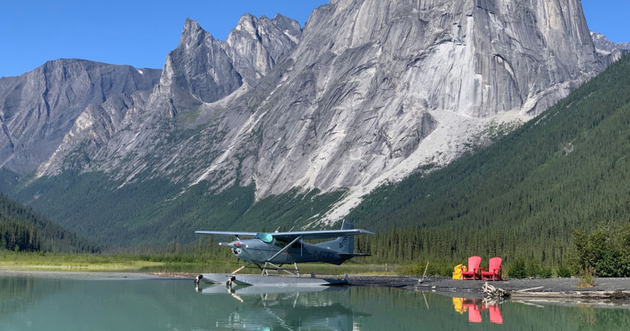
I plan on possibly flying my ole 182 VFR from Reno/Stead, NV (RTS) to French Valley Airport (F70) near Murrieta, CA. It will be roughly a 4 hr flight following Hwy 395 southbound with 1 stop at Lone Pine (026) or Inyokern (IYK). I haven't flown this route before and understand strong winds can create dangerous mountain waves along this route. I would leave at first light to get through this section with the minimum amount of wind & temperature. The trip would be Wed 13 May or Thu 14 May. Looking at the forecast-ed winds leaves me with questions. If there was a cross wind rolling off the Sierra Nevada's from the W at 25+kts, will that create a mountain wave? Are you affected by it if you were at 5k?
So at what point is the wind & temperature dangerous?
Cross country flying in the Nevada Triangle
Tue May 12, 2026 9:07 am
- SkylaneSam offline
- Posts: 144
- Joined: Thu Oct 06, 2011 7:38 pm
- Location: Puget Sound & Idaho
Tue May 12, 2026 2:45 pm
Re: Cross country flying in the Nevada Triangle
Whether 25 knots is too much wind depends on the altitude of those winds. 25 knots at 10,000' probably means some rotor action in the lee of the mountains below ridgetop level along 395. There might not be much turbulence. It's hard to say. The forecast winds aloft were pretty light the morning that Steve Fossett crashed near the Minarets, and wind probably had something to do with that crash. I've flown low in the Owens Valley a few times, but usually go high (like 14k+) when I'm passing through.
The smoothest route with the most outs would be crossing from Stead to the west at Donner Pass following I80 to Blue Canyon, then down the central valley to the LA basin and French Valley. That's how I'd go if my wife was with me. If I'm flying by myself, I'd see what the winds are doing on the peaks own the Sierra crest and at the airports along the Owens Valley right before taking off and decide then on the route and altitude. The 395 route is really pretty, and lower is prettier.
Good luck and enjoy, however you go.
Terry
The smoothest route with the most outs would be crossing from Stead to the west at Donner Pass following I80 to Blue Canyon, then down the central valley to the LA basin and French Valley. That's how I'd go if my wife was with me. If I'm flying by myself, I'd see what the winds are doing on the peaks own the Sierra crest and at the airports along the Owens Valley right before taking off and decide then on the route and altitude. The 395 route is really pretty, and lower is prettier.
Good luck and enjoy, however you go.
Terry
Wed May 13, 2026 6:03 am
Re: Cross country flying in the Nevada Triangle
Well you might be airborne by now but wind at my place 7k feet not too far from stead is Nuking this morning . Thursday (tomorrow) looks better. 25 kts at the ridges going down the east side isn’t really that much wind. Probable won’t be cruising at ridge top level in the 182 on that route anyways being that these ridges are 13-14k ….. as mentioned the route over Donner summit into the sac valley can provide a much calmer flight if its ripping on the east side .

vail
Wed May 13, 2026 6:05 am
Re: Cross country flying in the Nevada Triangle
I’d be more worried about flying into that nightmare they call the LA basin.
vail
Wed May 13, 2026 6:45 pm
Re: Cross country flying in the Nevada Triangle
A little late on this, but I've flown that same-ish route several times, they say anything above 20 knots at the peaks can create wave/rotors. That's some high country down there, I recommend staying above the peaks when downing. Watch out for that restricted airspace.

DISPLAY OPTIONS
Who is online
Users browsing this forum: No registered users and 4 guests
Latest Features
-
-
Featured Bush Planes
As one of the undisputed legends of bush flying, the Cessna 180 hauls a…Read More -
Aircraft Ownership and Maintenance
9 modification mistakes aircraft owners make when trying to "bush out" their birds—why some…Read More -
Live to Tell
A Minnesota pilot is surprised to learn that the sudden asymmetric drag of an…Read More


Latest Knowledge Base
-
Destinations
Canada offers some of the most spectacular backcountry flying on the continent. Here's what you need to know before you go.Read More -
Safety and Survival
Hope that you never have to use your survival vest but knowing you have it and knowing how to use…Read More -
Destinations
A regional guide with ideas for winter camping destinations in California, Nevada, New Mexico, and Arizona.Read More -
Aircraft
Finding an affordable aircraft that can handle the backcountry for $80K or less? A challenge for sure, but with the…Read More