I headed across the desert to Carey, and then Picabo. I was bitterly disappointed to find both, while being grass strips, HAD BEEN PLOWED
 From there it was over to Hailey, (towered, ain't stopping there) and then past Ketchum. I took this pic of their little local podunk ski area, it's nothing like the world class destination ski resort I have behind my place, Pebble Creek. I think they call it Sun Valley.
 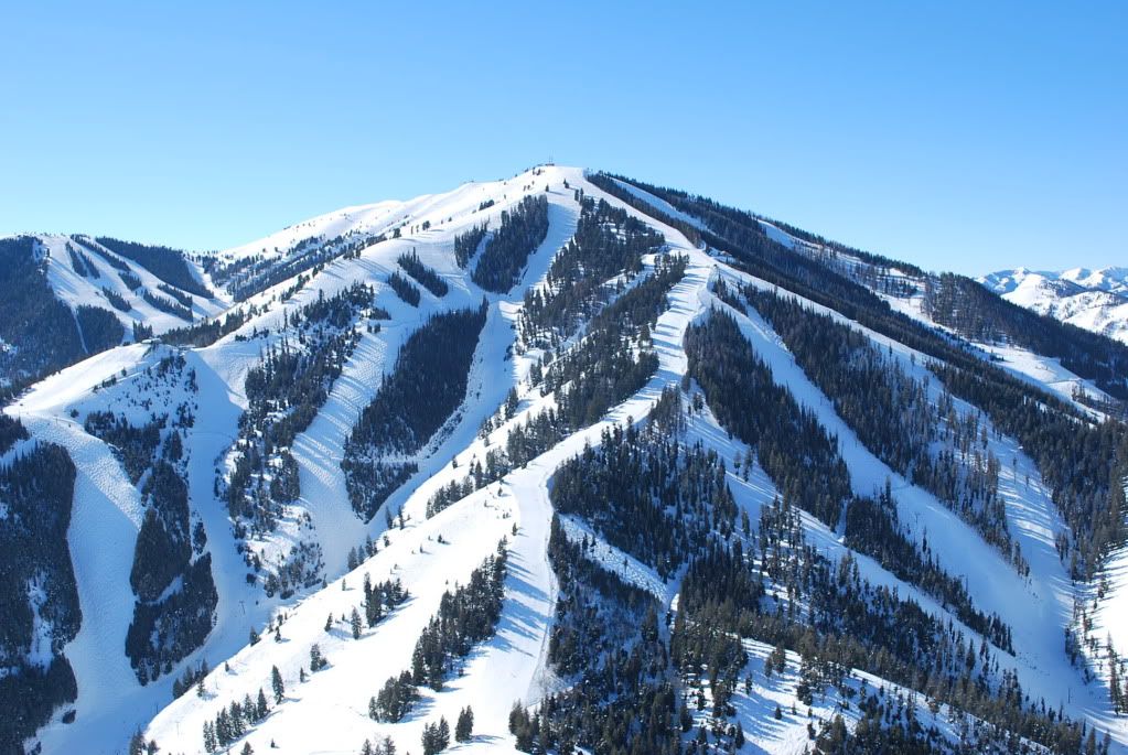 Working my way north up the valley to Galena Summit, I noticed the sledheads had really tore up some areas and others were untouched. This area was just a couple miles south of the summit and I didn't want to throw away the altitude I had to go play down there, as you need 9K for the crossing. All ski pilots know that where there are sled tracks, it means it is OK for ski planes, right?
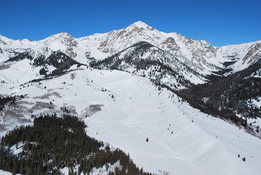 Popping over the summit and all of a sudden seeing the Sawtooths and the Smiley Creek airstrip far below is one of the more dramatic flights in Idaho, a whole lot of scenary suddenly appears! I hit it pretty low as I am always planning a stop at the Creek about 4 K below so no use having extra altitude. I was able to bag another off/on thing as the strip had a few feet of unplowed snow on it, and I could see the sledheads had it all packed down real good. After a brutal hike over to the cafe (should have shoed up, it was a good 3' deep and a bitch) and another great lunch (much better then average fare again AND within walking distance, gotta love it) I was able to coerce the waitress into agreeing with me that I was the only ski plane yet to land there this season, THEN I tipped her.
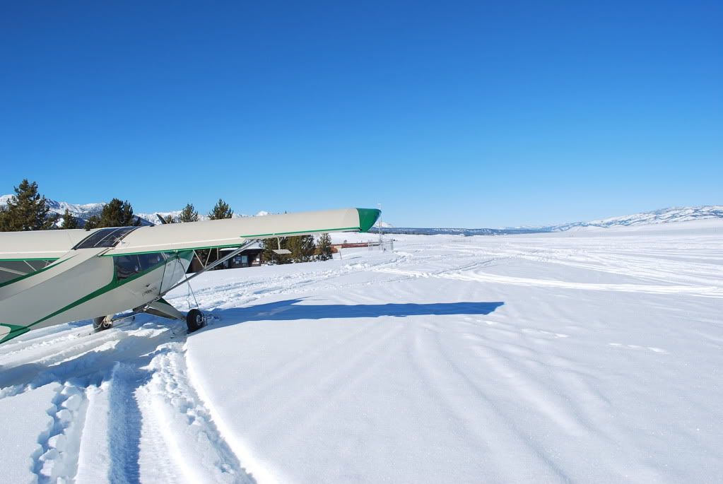 The next closed airport to bag was Stanley of course, and it had an interesting hard pack with a good side slope to it, must have been wind caused.
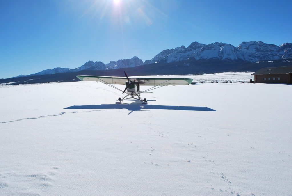 By now I was just jumping out and taking a picture and then blasting right off as the day was getting shorter and I was a ways from home. I hung a right at Stanley and followed the canyon road to Clayton, where I hung another right and got back in the big mts., coming out across the valley just west of Mt Borah. Another low flying/no use getting high route as I was dropping way down into the Little Lost Valley as soon as I could. Dead calm and smooth air of course.
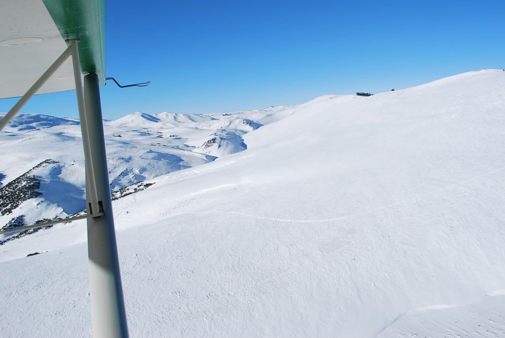 Borah, Idaho's highest, on the left.
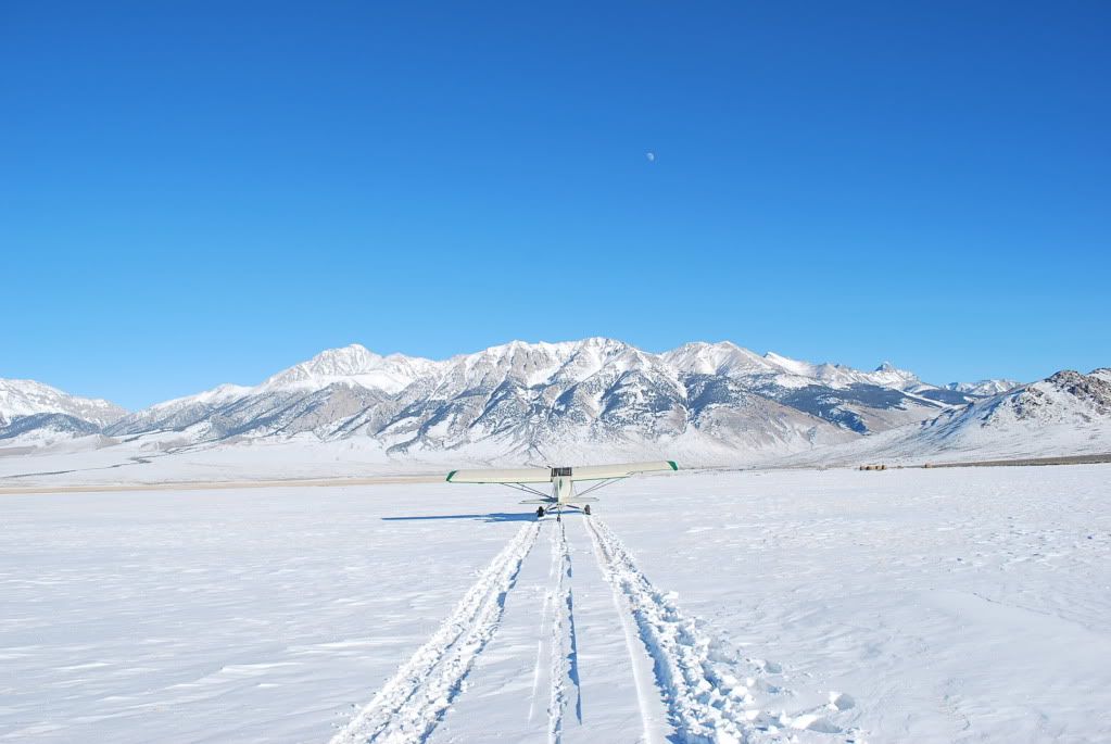 And then, the real reason I made the 5+ hr flight, I needed to check up on a wind turbine installation I did a while back up the canyon toward Antelope Valley (and this was where I saw a huge herd of elk on the ridge top)
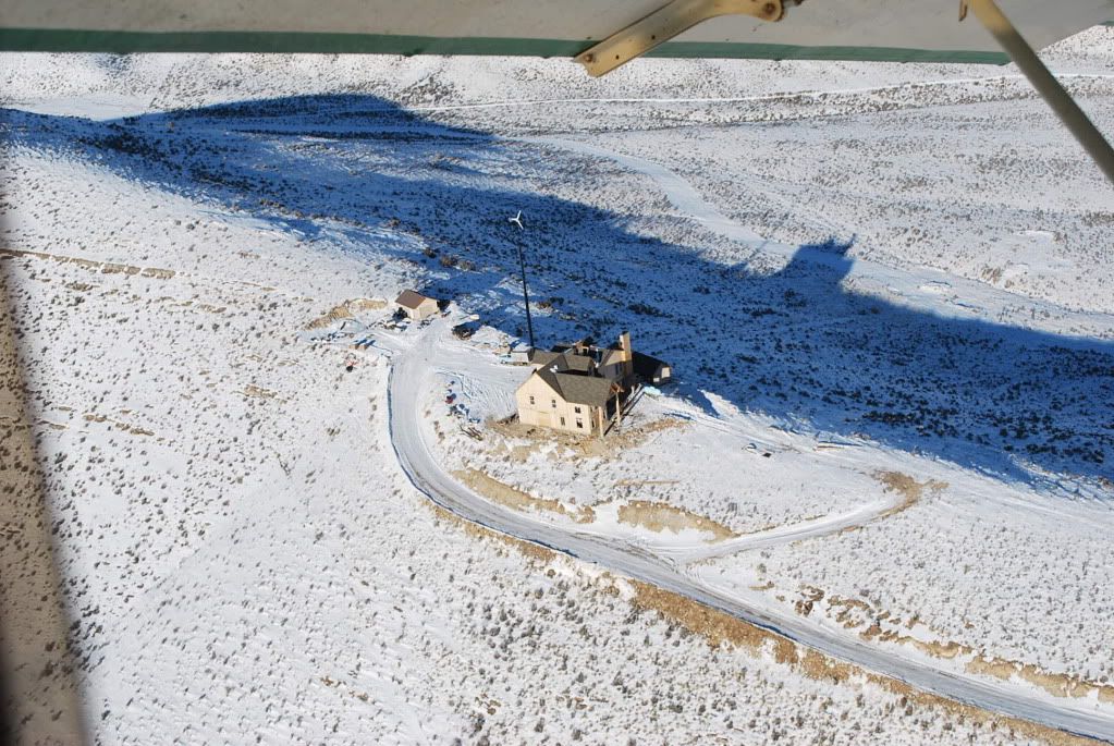 and then another hour and I was at the home drome right as the sun dropped below the ridge line, just right