Zenithguy,
I found Monache on the CG-18 WAC chart from 1973. Lists it as a USFS strip at 8000' and as 2500 feet long. Lat and long roughly 36 deg 14 min N, 118 deg 12 min W.
Looking back at an older WAC and Sectional (1958) the strip is called Grants and it is depicted as being on the other side of the river. The South Fork ( Kern?). It is also at 8000 ft elevation is 2900 feet long. Did the river change it's course over time?
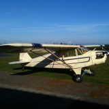
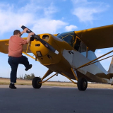
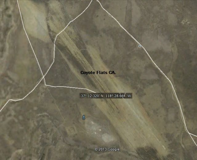
I could not find Coyote Flats anywhere. Do you have lat and long for it. Googling it led me here.
http://www.airfields-freeman.com/CA/Air ... oyoteflatsThe coordinates they have do not reveal anything on my charts. By the website info it sounds like it was a busy place and should be on the charts. I'm curious now.
PM me an email address and I'll send you scans of the charts I have depicting the area.
Dave