The first thing the rancher says to me: "I'm missing a couple bulls, they're up in Sawmill Canyon, can you go look for them"? I'd flown right by it earlier..., I told him I was here to work, not fly, (and kept a straight face),and I really did have to after screwing off all morning, so when the weather clears I'll head back up to take a looksee, he didn't have to twist my arm too hard.
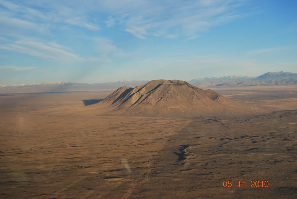
The iconic Big Southern Butte, a handy landmark even with GPS, I've been eyeballing a landing site up there, right where the hang gliders launch.
The lower hang glider launch site at King Mt. in the Big Lost, it makes a good landing site also, the takeoff was smooth, very steep and fun!
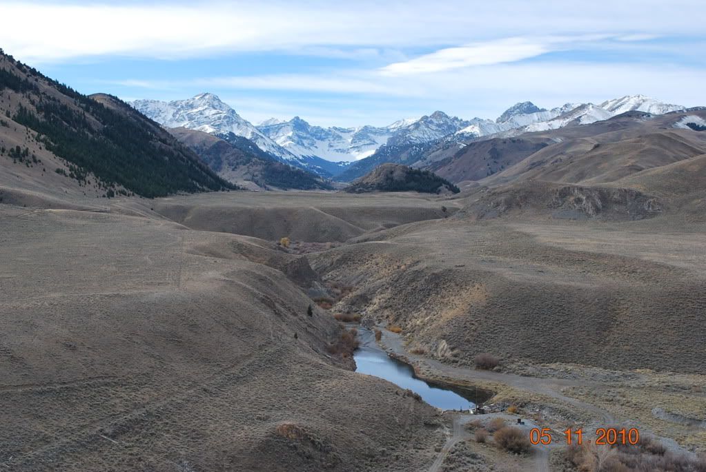
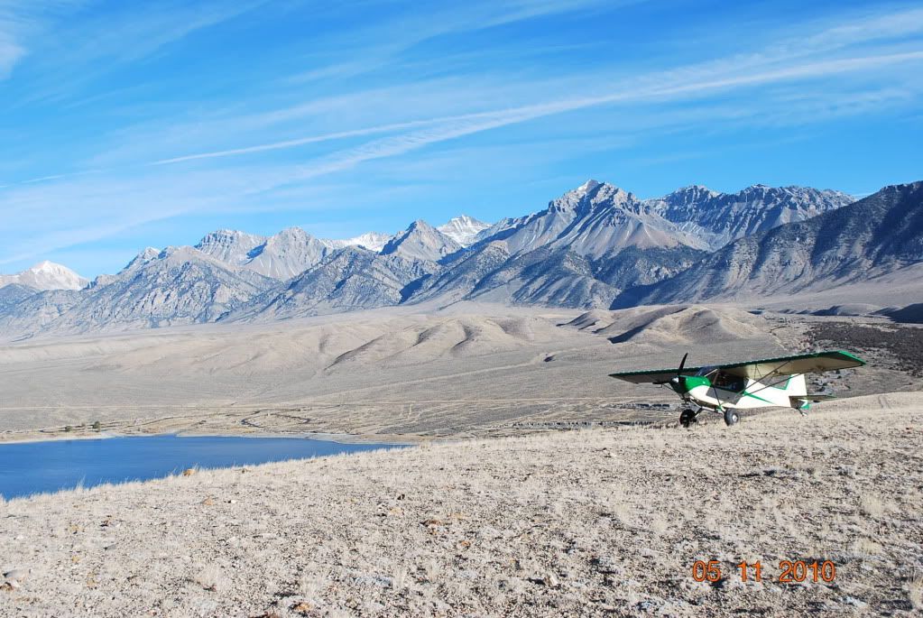
The Big Lost, what can I say? It blows me away everytime I fly there. Awesome sceneary.
Slipping through 8800' Double Springs Pass, dead calm, with 12 and 13 K peaks on either side, and smooth as glass. On the other side, I looked at my airspeed 80 mph, then the GPS, 124 mph, still smooth, and a half minute later the tail wind dispersed, it was just right at the summit.
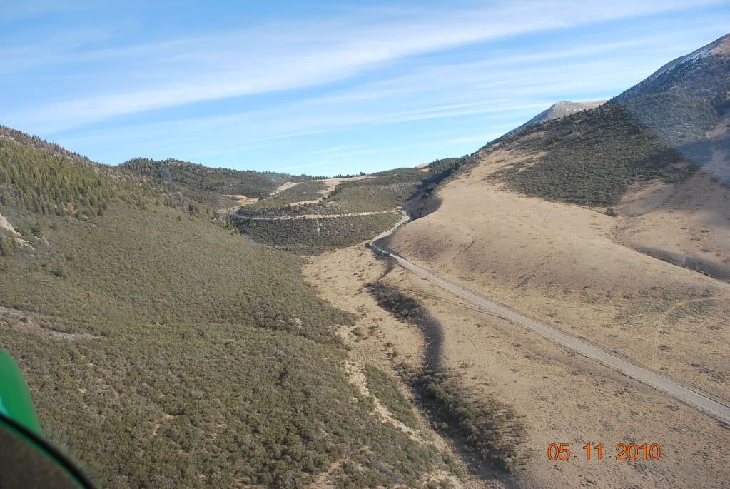
A deceased friend of mine was involved with the design and installation of this hydroelectric system about 25 years ago, 48" dia. pipe, about 1000' of fall, LOTS of power, a real money maker. I finally got around to following the faint signs of the buried pipeline from the power house (about 10 miles from my job), up the alluvial flow, through a narrow canyon, and then into a little valley where the penstock intake started. Interesting to see from the air, how it all works. Not a bad view further up either.