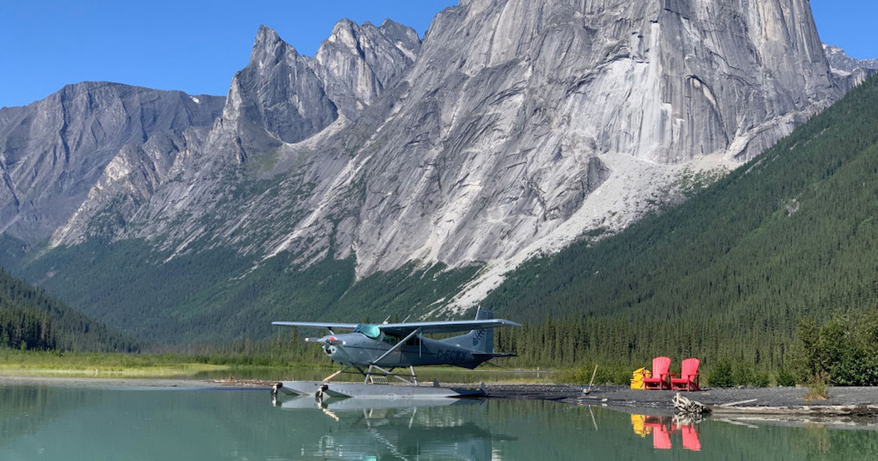
Colorado flyers know how few truly “backcountry” airstrips the state has. Excluding paved runways, one can visit Mack and Dolores on the Utah border, or Chapparal in what amounts to Western Kansas. All great places, but few others really feel “in the mountains” like Marble. I was looking for more fun places to finish out my run training for the season, when I noticed that the weather, my schedule, and life in general had an opening for a visit to the little town in the mountains. So, I planned a day trip—fly in, run around in the woods, eat something local, and fly home.
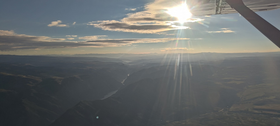
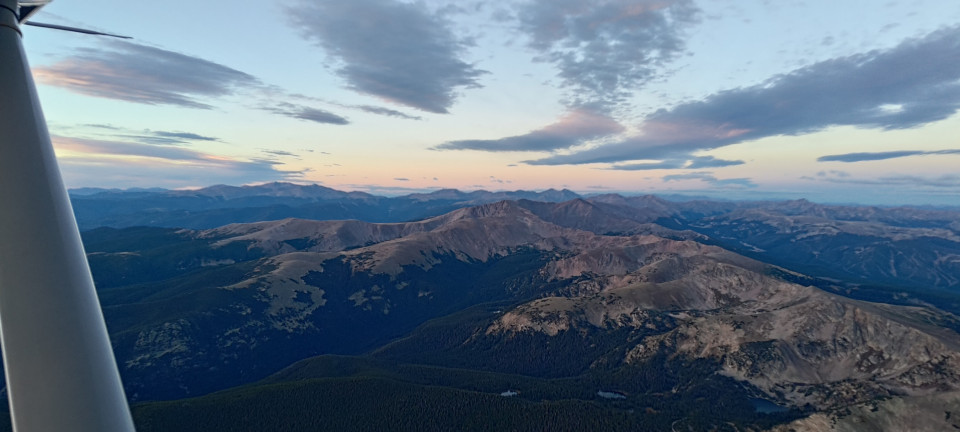
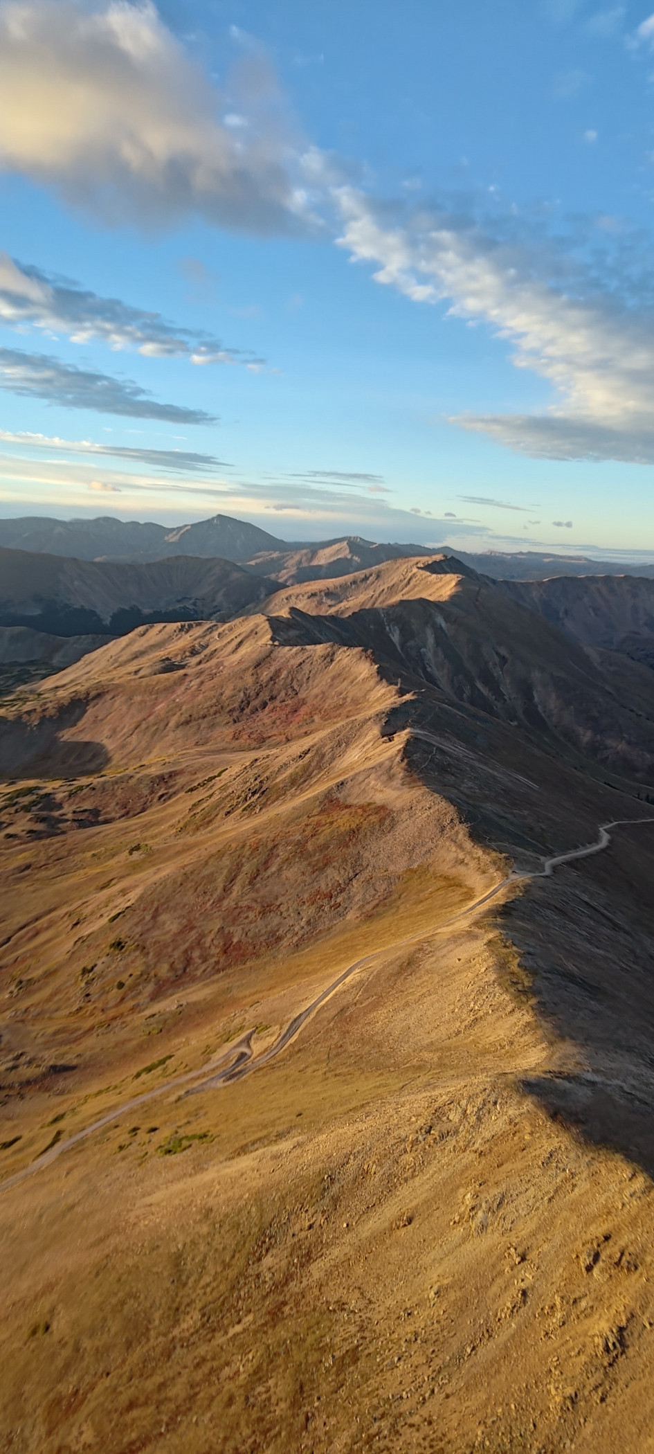
It was dark when I took off for my usual shortcut to the Rockies, Rollins Pass. It was still dark when, off my left shoulder, I watched a pair of blinking anticollision lights depart Boulder airport headed west. They passed me like I was standing still, still below me as I overflew Nederland. And yet without much apparent difficulty, the lights (and probable attached jet) zipped up over Rollins and continued climbing well into the flight levels, taking five minutes to do what would take me closer to 20. I tried not to be jealous, and was rewarded with amber colored sunlight covering the Byers and Vasquez Peak Wildernesses.
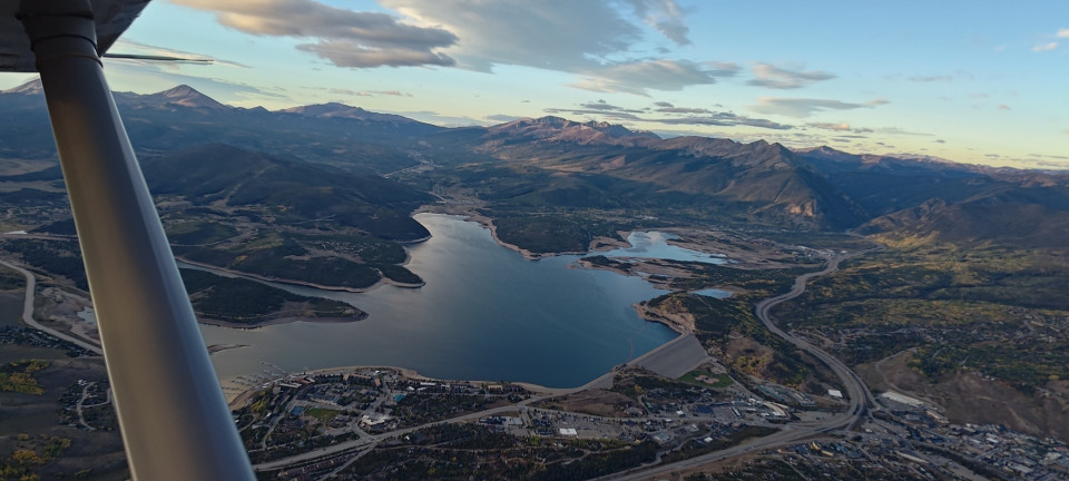
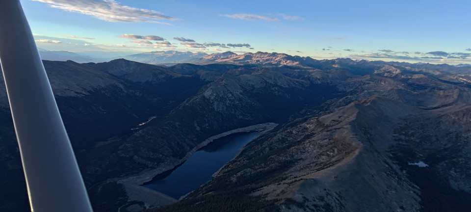
Along the way I also had a nice view of Jones Pass, which looked to be just about paved. I also enjoyed early morning views of the Eisenhower Tunnel’s west end (which I mistook for a power plant at first) and Silverthorne beyond. I made a quick descent for oxygen there, before climbing back up into the Gore Range and crossing perpendicularly over Vail Pass. Truly stunning ridges and trails all beckoned, and left me further convinced Colorado will keep the hiker in me occupied for many decades. Ahead lay the Holy Cross Wilderness, whose resident Fourteener loomed large—and covered in a shelf cloud. I cruised farther south over Homestake Reservoir, but still endured some stray wallops from the many Thirteeners.
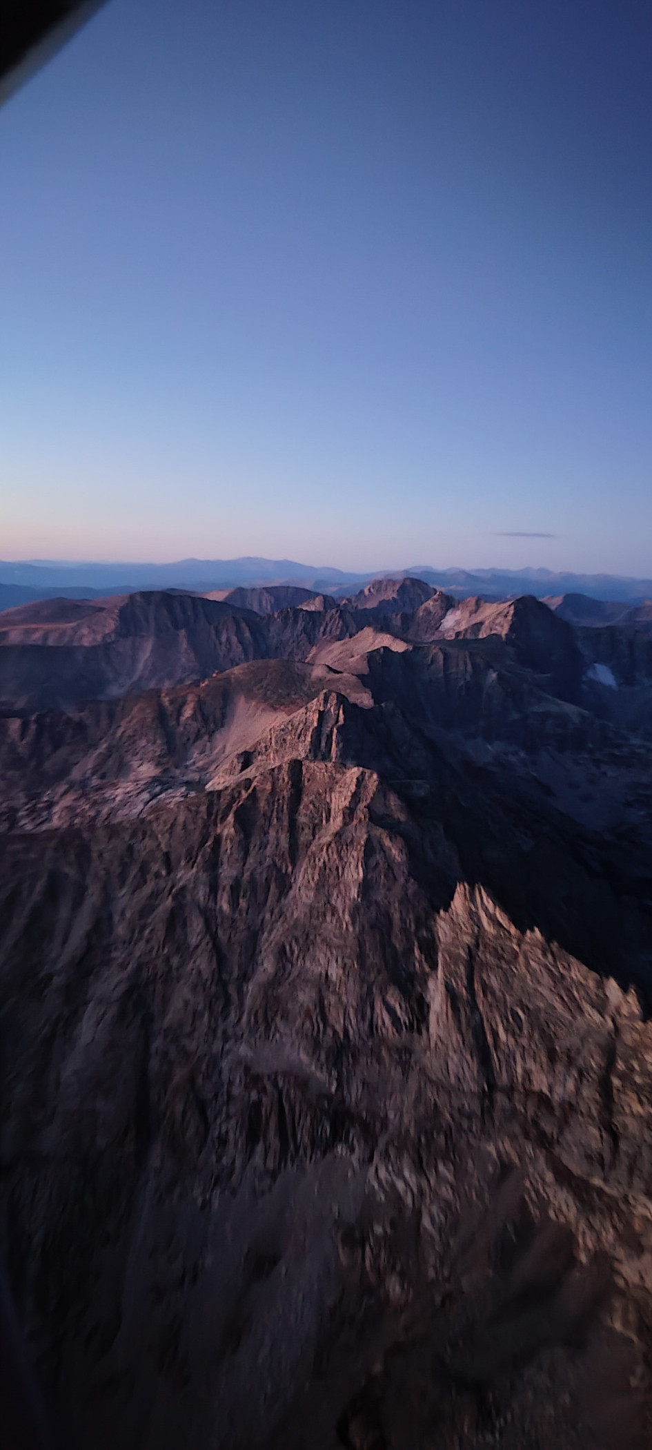
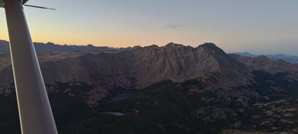
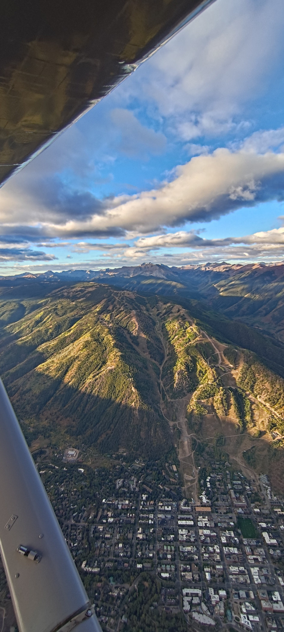
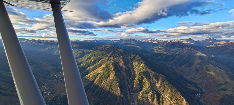
I finally dropped into Aspen’s airspace, coordinating with their friendly tower to cut across town and the ski areas for the Maroon Bells. Maroon Creek road was several thousand feet below me as I traveled south through the valley, but Castle and Conundrum towered in the east, well over Betsy and I. Pyramid stood similarly tall to our west. We rode the ridgeline in between farther and farther south, before eventually crossing East Maroon Pass towards Schofield Pass. No amount of “oohs”, “aahs” or “holy fs” ever do this area justice.
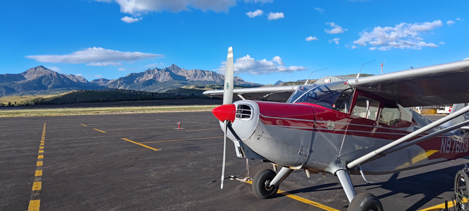
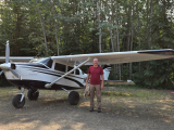
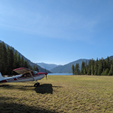
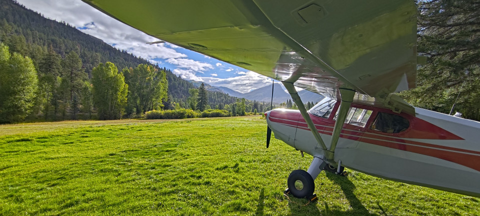
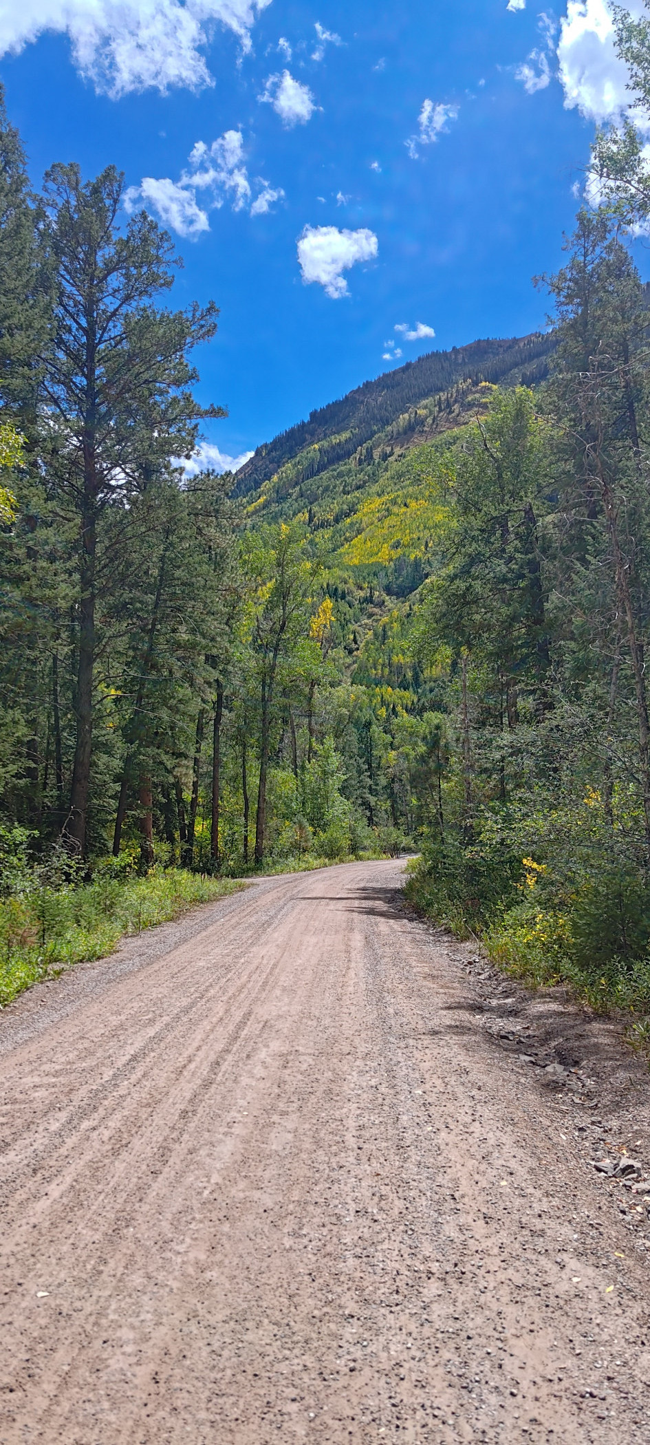
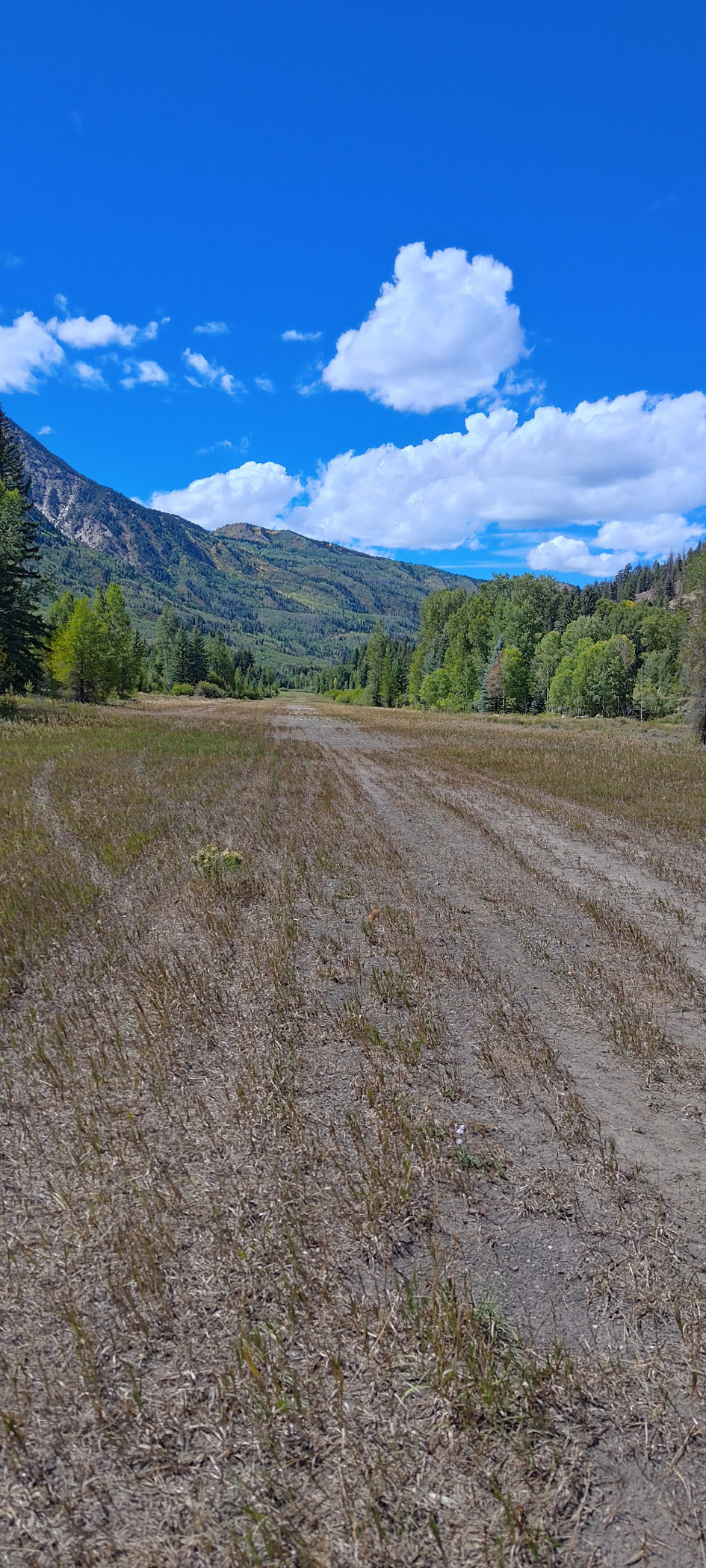
A gentle descent brought us down into Marble Canyon from the east. Without having the airport in sight, even ten thousand feet felt a tad low. I was pleased to see a few creeks and small waterfalls still flowing, despite the dry season we had endured. Arriving overhead, my position reports were answered by the voice of Marble’s caretaker. She was expecting me (not a surprise, given I’d filled out the form on the Airfield Guide as it instructed) and was kind enough to report the winds were mostly out of the west. I asked for an altimeter setting, since I’d neglected to reference a peak on my way in, and readings along the way had varied from 29.98 to 30.68 inches. She couldn’t help me there, but luckily my eyeballs still worked. I stayed above the trees until the runway, then made a bouncy landing on the first few feet of 27. Rookie mistake—the runway really is quite long, and the latter two-thirds are much smoother.
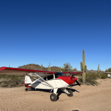
Betsy got a small bath from some sprinklers as we slowed to a taxi speed. I, meanwhile, was attempting to pin the stick back like a decent tailwheel pilot. However, I could only manage to get about two inches of travel from full forward. This worried me a bit. After shutting down near the campground, I stuck my head under the panel to discover my glovebox was out of place! Years of my crap landings must have persuaded the screw that usually holds the box in place to take a hike, thereby allowing it to block the controls. It made for an easy fix, but also left an uneasy feeling whenever I imagined needing to go around.
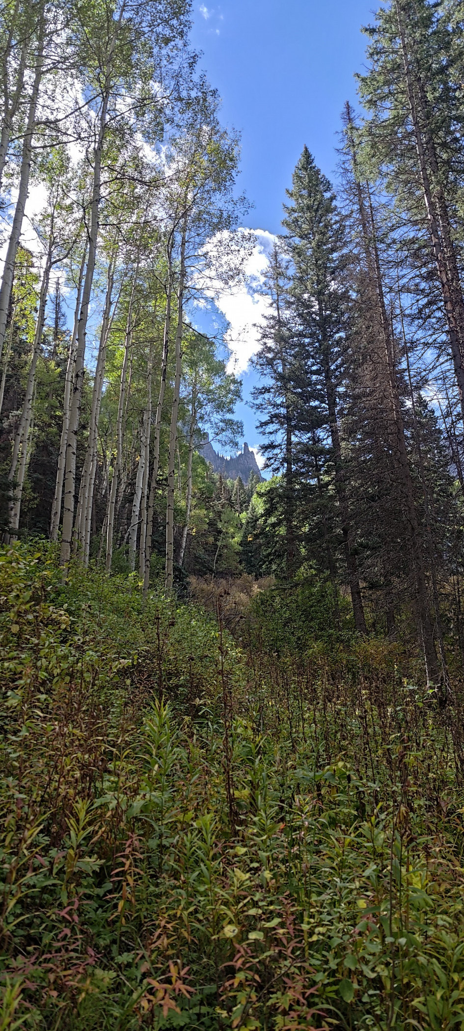
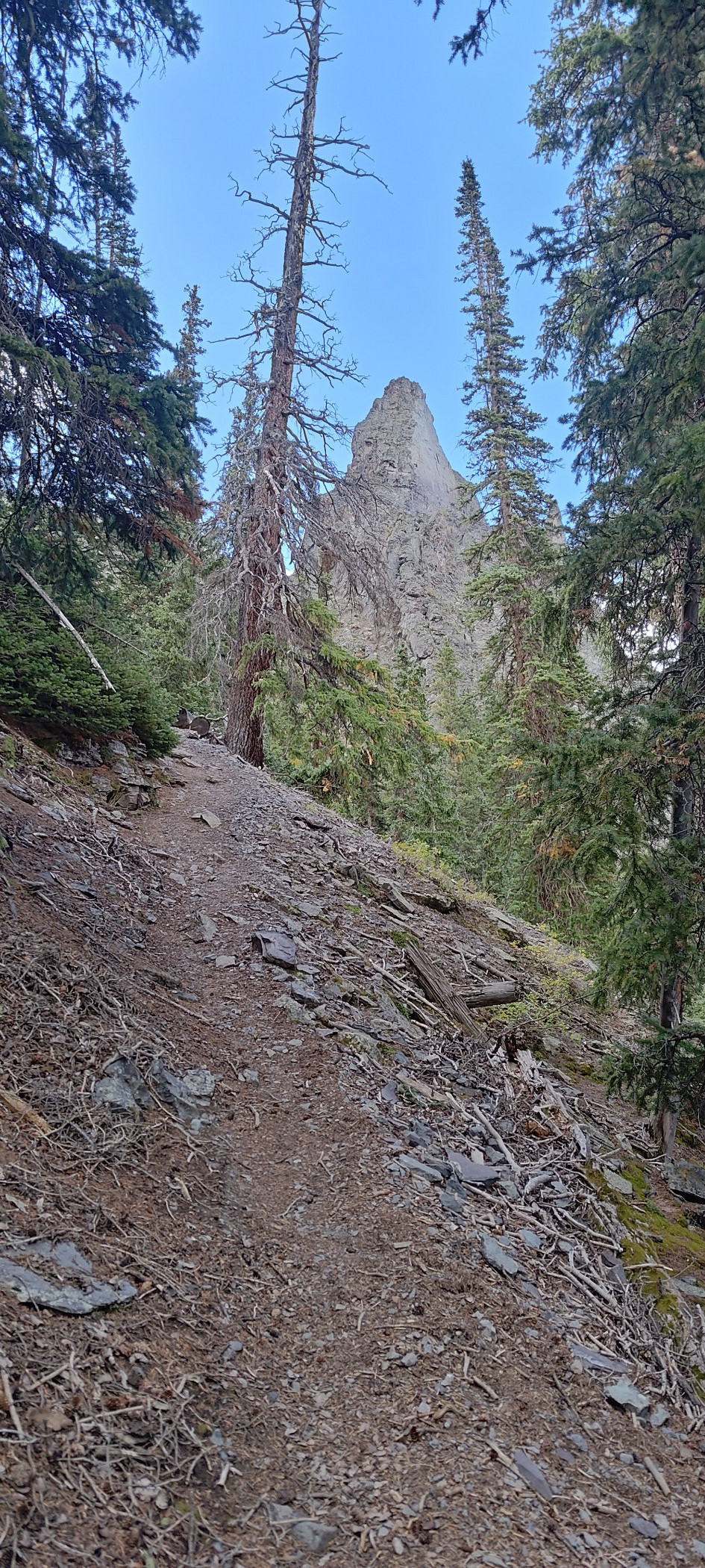
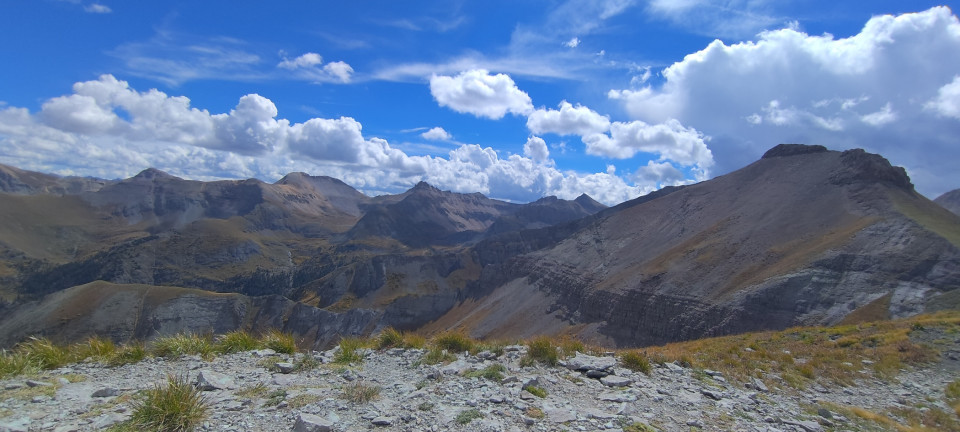
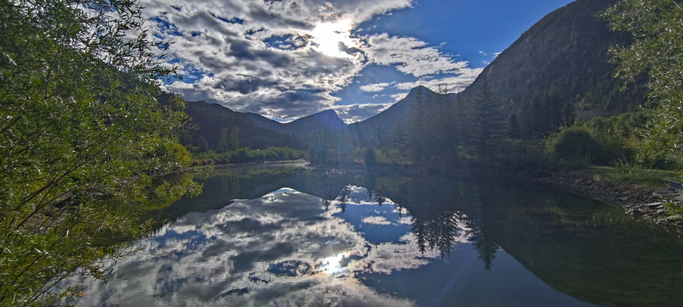
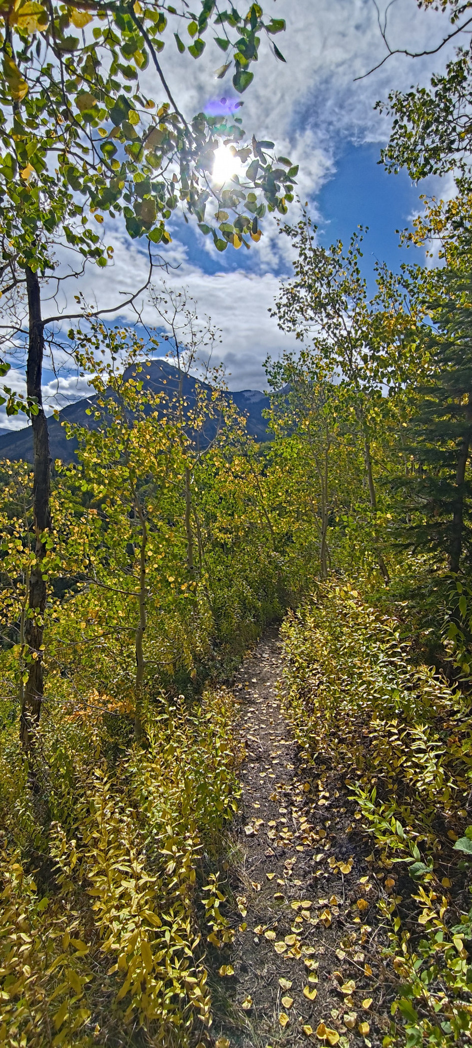
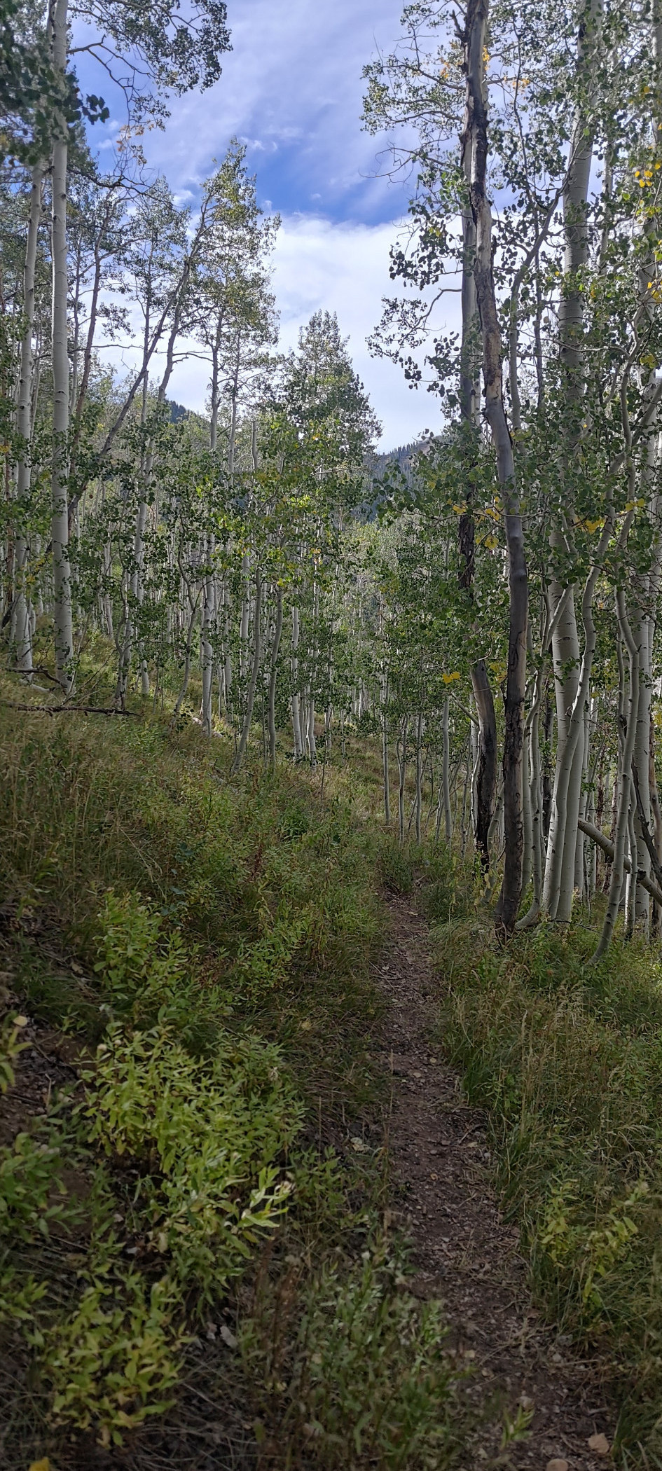
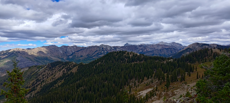
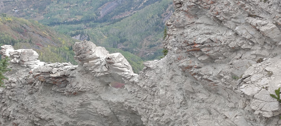
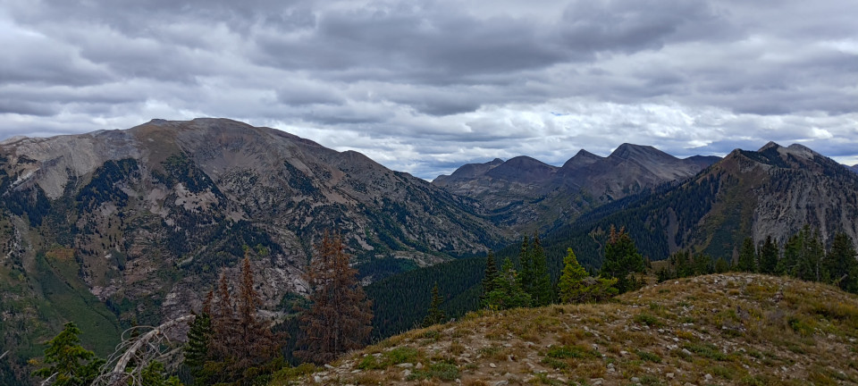
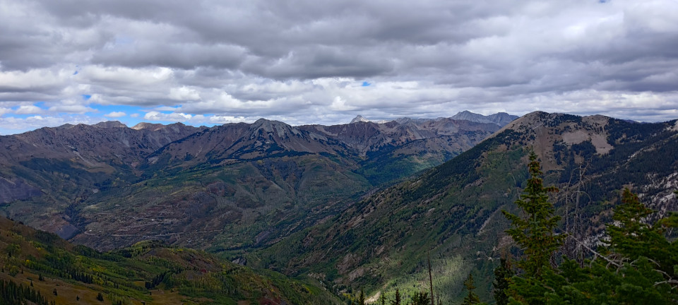
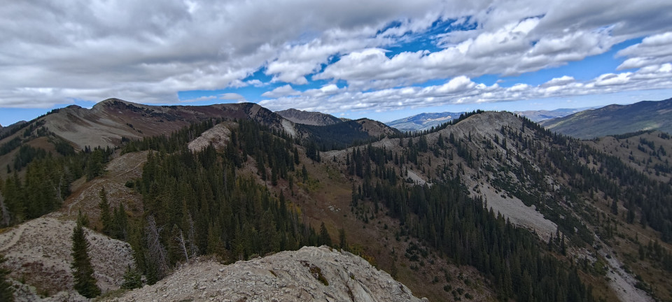
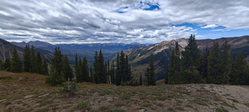
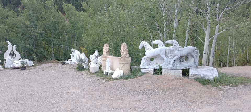
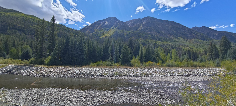
After getting Betsy chocked and myself changed, I started out on my running adventure. Leaving the runway for the road, I jogged into town to the old Marble Mill and Quarry Road. Not much farther was the Raspberry Creek Trailhead. I climbed the Raspberry Creek Trail until it met Anthracite Pass Trail and headed west. Large chunks of this section were overgrown, partially washed out, or had downed trees. In other words, my kind of place! I didn’t see a soul for hours. Eventually I gained the ridge to Marble Peak, and took in the glorious views in every direction. One could look in any direction up there and come away with framed-picture-level views. One much speedier descent later, I was back in town—and ready for BBQ! Slow Groovin’ BBQ was great.
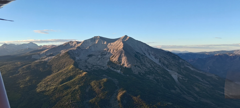
A short (but much slower) hike/jog brought me back to the airport. Betsy was still waiting for me, and the winds were thankfully still out of the west. That only really mattered because we had tons of fuel, plus a bike in the back, and the density altitude was pretty high. Despite all that, we rocketed off the runway, giving some nearby roofers a bit of a show. Following the highway around to the north, we passed Mount Sopris, and I had to admire the sheer volume of gravel cascading off its flanks. From there We passed Carbondale, and had another difficult transition by Eagle. Every time I pass by (outside of flying work jet), Eagle Tower wants me to cross their valley in a different way. I’m always monitoring, and I’m always clear of their Delta airspace, but complying with what they wanted last visit never aligns with the next. They were also training a new controller, which I’m sure did not help.
Passing Mount Powell and Winter Park, we once again crossed Rollins into home turf. With not many folks in the evening pattern, I was home in time for dinner. But what next?



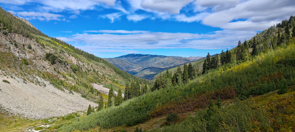
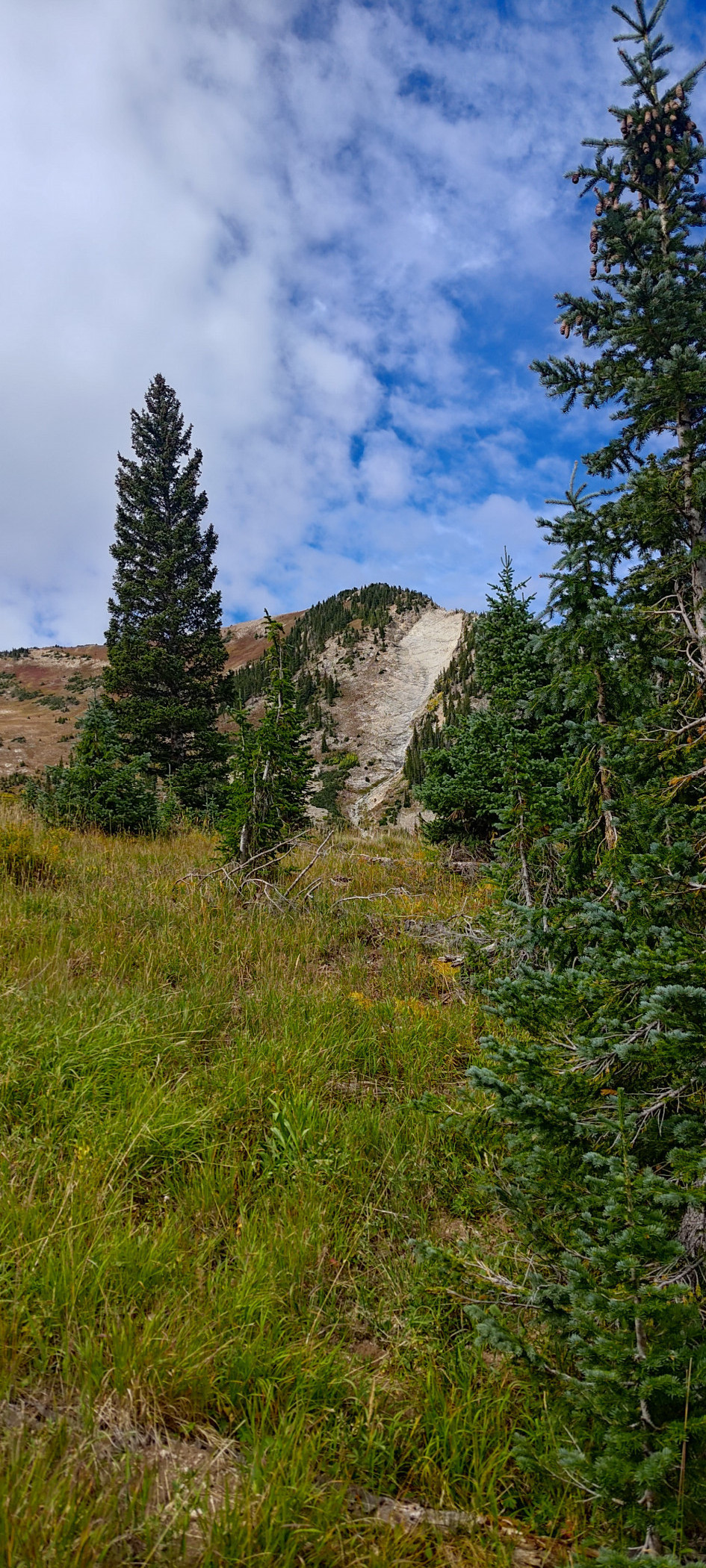
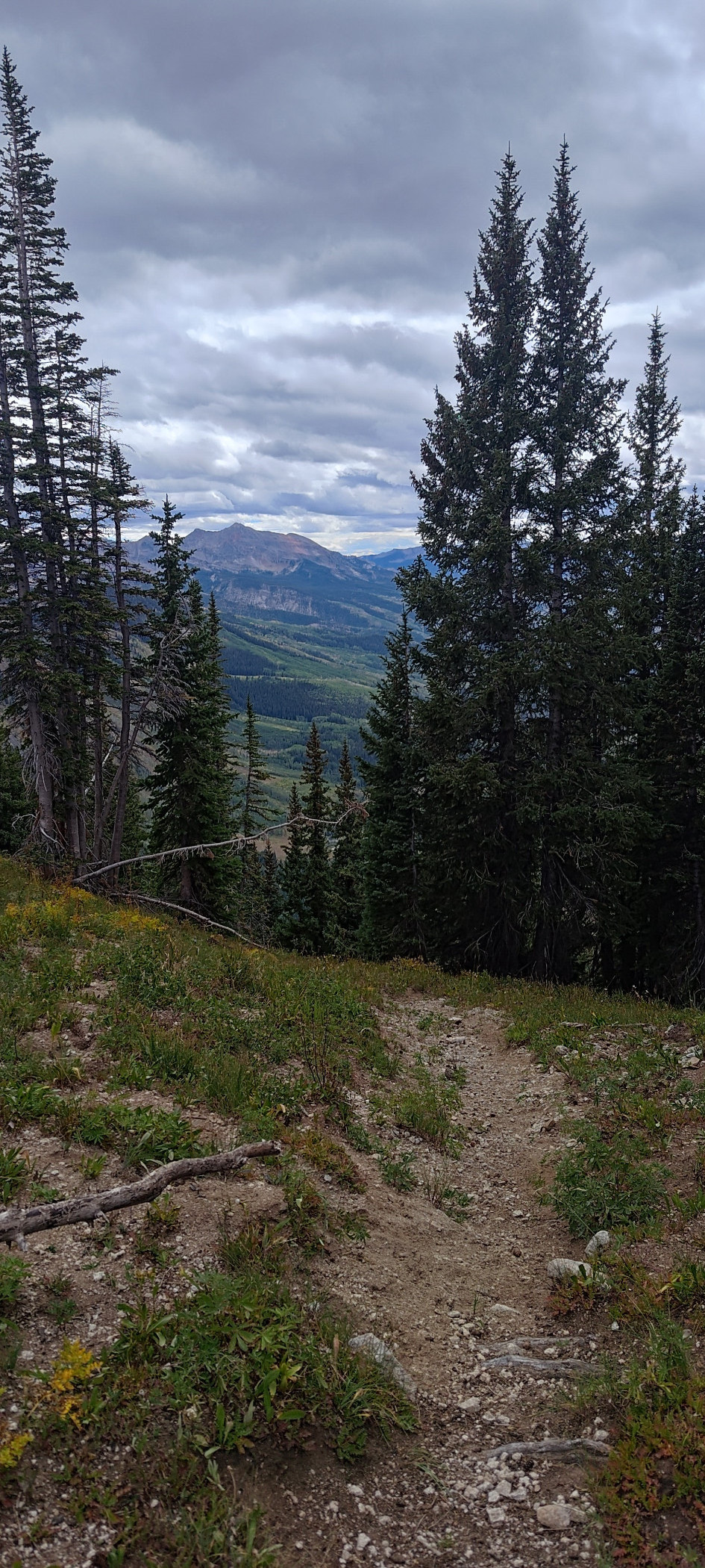
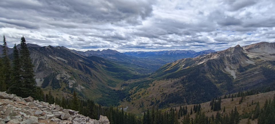





PART TWO--TELLURIDE
So, it was around two weeks later I found myself flying to Telluride. Not so much a backcountry destination as Marble, but plenty challenging a flight all the same. Farther, with more of the same awesome terrain, but now with the added challenges of farther away trails and less daylight. I’d flown into Telluride plenty of times for work, but taking Betsy and being on my own terms was always on the to do list anyway. The weather had also, on average, worsened for flying. Though I was not about to wish away any rain!
The flight westward started similarly to my earlier trip. Orange sun painted the mountains early, before retreating behind high clouds for a few hours. I passed Rollins, Byers Peak, and Eagle uneventfully, simply enjoying the calm air and quiet airwaves. Betsy fought valiantly against the day’s ten knot headwind, but alas we are simple hundred-knot travelers. I rang Aspen approach a tad earlier this day, as my path took us across the Red Table VOR. This is one of the high traffic fixes for jets arriving at ASE, and they were grateful to hear from me. I passed low over the station while a Phenom flew the same direction straight above us. They glinted in the sun as they made their turn onto the Localizer.
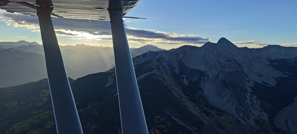
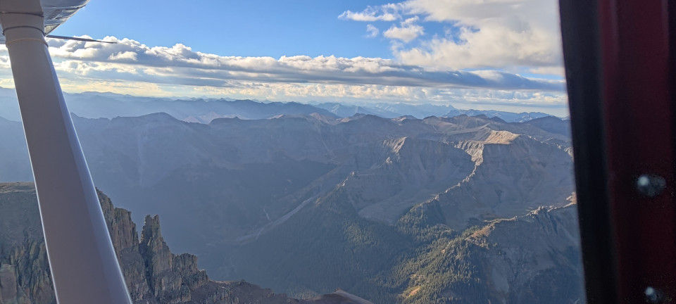
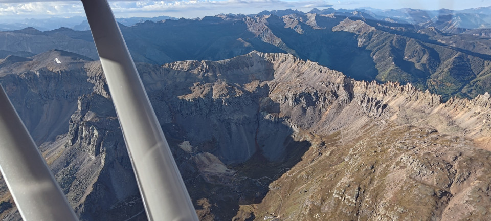
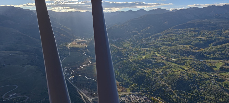
After passing near Mount Sopris again, Betsy and I crossed McClure Pass and continued southwest to Mount Gunnison and eventually Ouray. My plan had initially been to fly west over Black Bear Pass, since that was how I’d first come to the town in my Jeep years back. However, the winds over Mount Sneffels and its neighboring peaks produced some rather gnarly turbulence, so I elected to make a more direct approach near Imogene Pass. In between knocks, I was impressed to see the high extent to which high-elevation mining was still done in the area. The town of Telluride glittered in the valley as Betsy and I crossed over the east end, flying right traffic to 9. Some relaxed headwinds allowed for a long landing, and we taxiied to ramp and the waiting Follow Me cart. Betsy got tied down, and I got changed.
But how to get to town? Rideshare services aren’t particularly popular in Telluride, and any cab service I could find cost $50-120 EACH WAY. I had initially planned on simply running a trail that started just uphill from the airport into town, then using a bus/hike combo to get back. Then I’d seen a much more enticing trail that started in town, and decided to just bike in. Using my folding bike, I ripped down the paved road from the airport to the Valley Floor Bike Path, which conveniently ran all the way into town. I’d forgotten a bike lock, but simply rode to a local shop to pick one up.
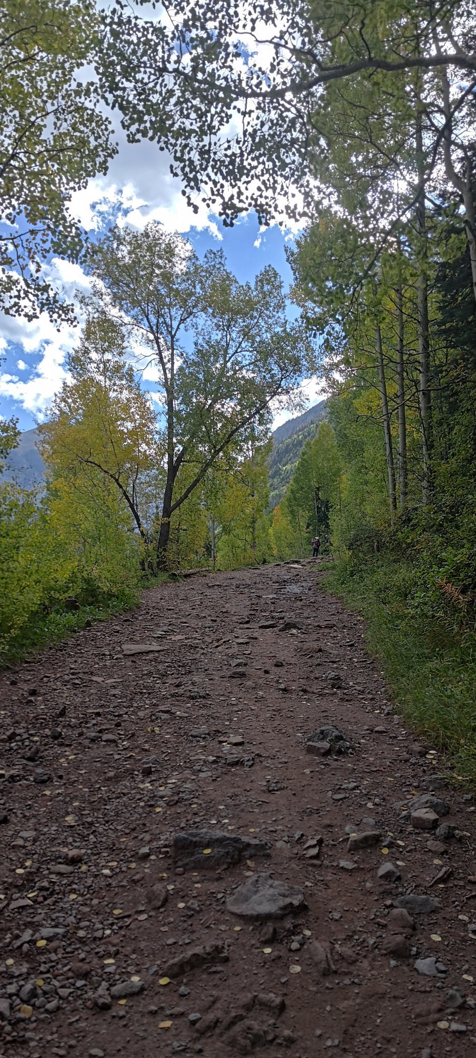
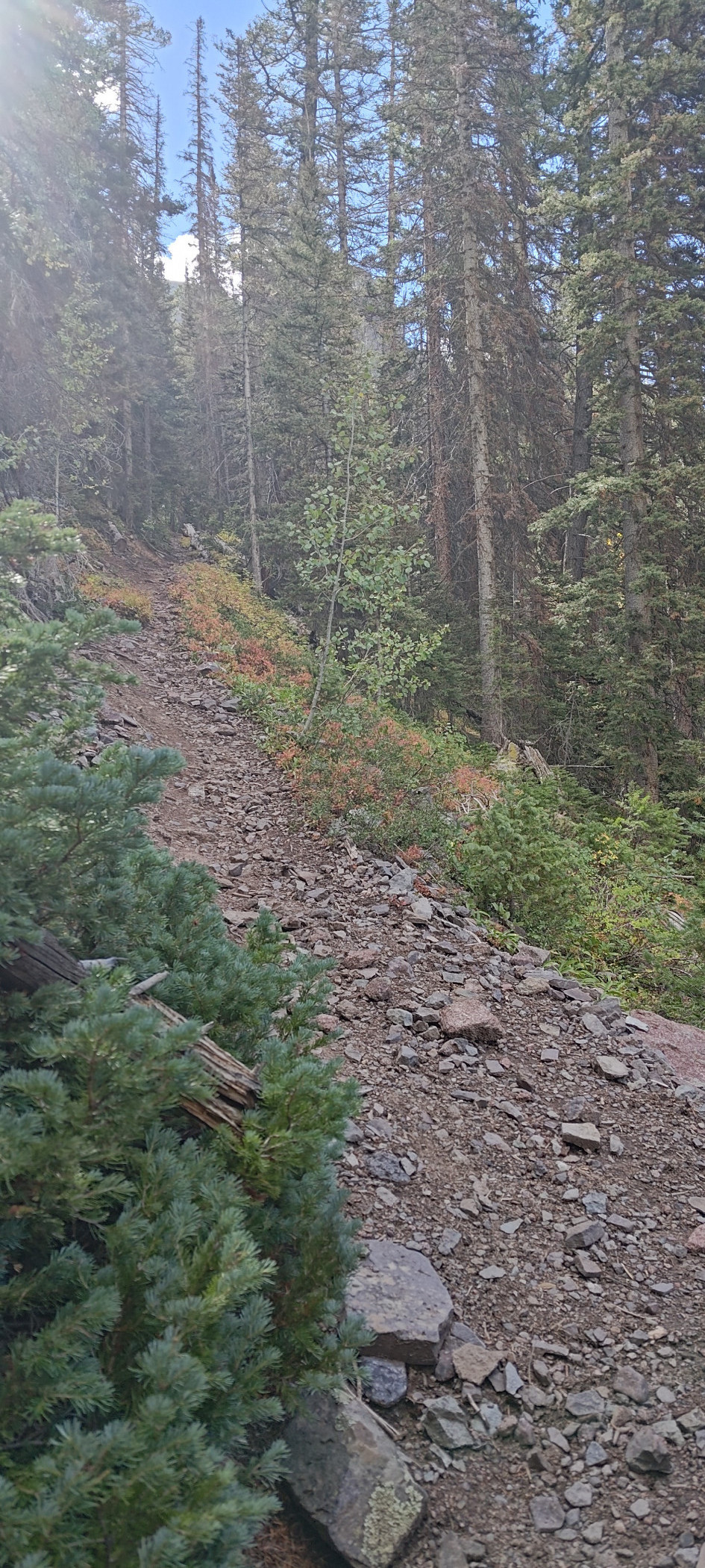
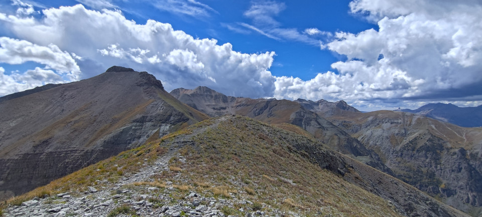
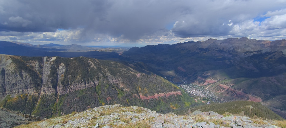
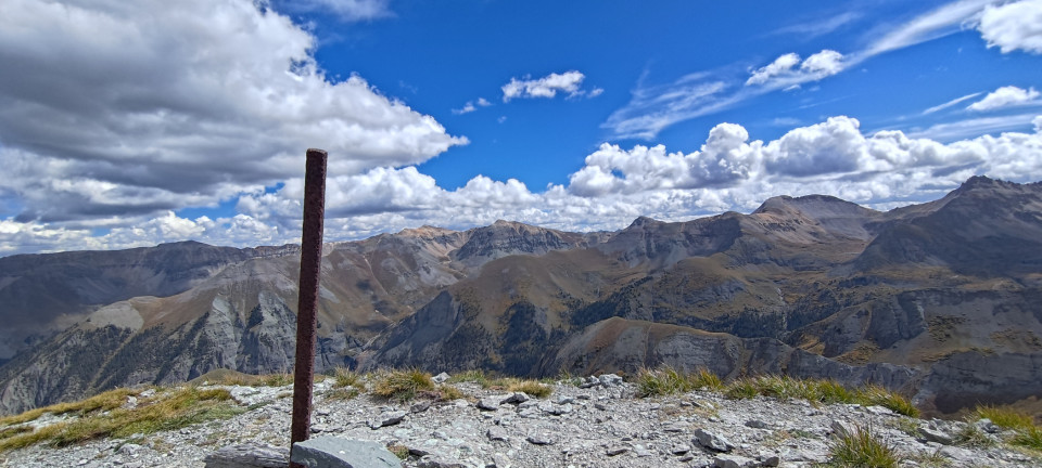
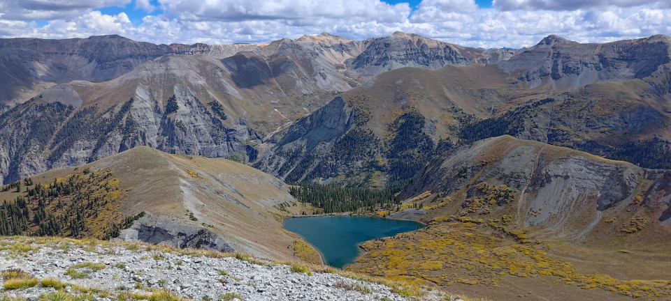
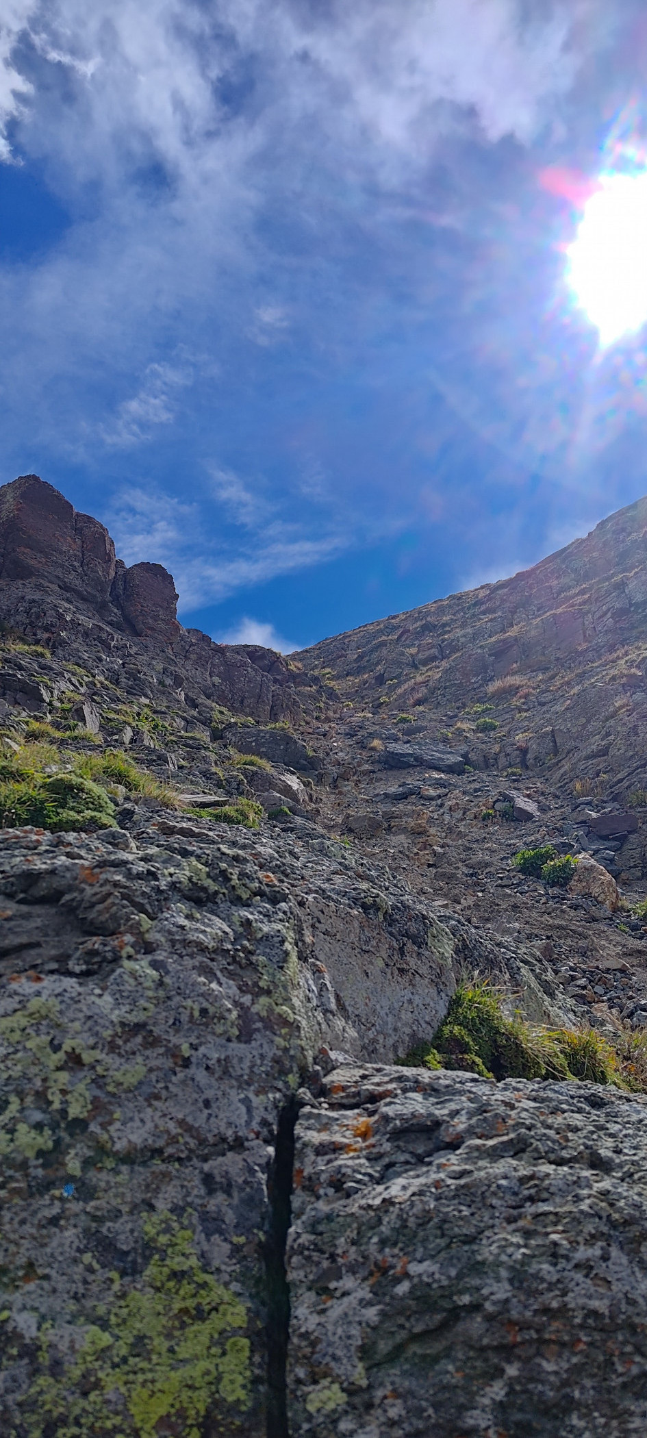
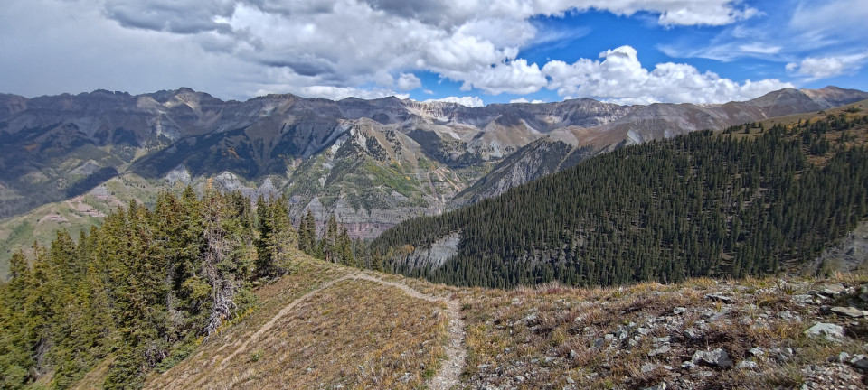
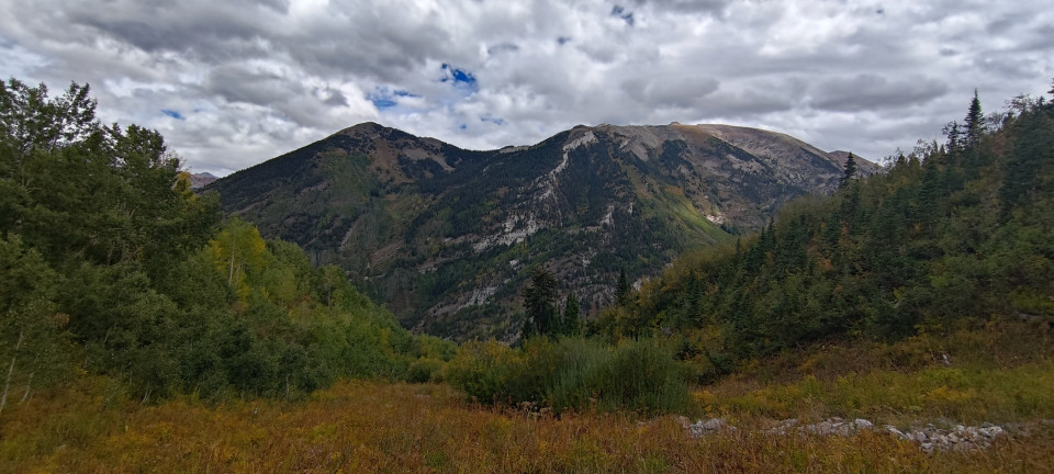
Today’s run was fairly straightforward—a short mile jaunt up Bear Creek Trail, before crossing the river and climbing another two and a half up Ballard Mountain. It was steep the whole way, with quick peeks of the valley initially, then widening above treeline to sweeping vistas of the entire basin. Aside from the last hundred or so feet of climbing, the trail was well kept, so getting lost wasn’t a concern. What was concerning, upon breaking treeline, was noticing some rain shafts approaching the neighboring ridge. I climbed as fast as I could to the summit, before noticing they had drifted north and would miss the exposed ridge I was standing on. Whew.
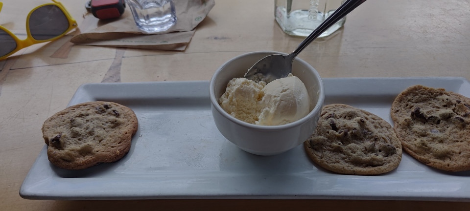
The trip down was much easier, and of course much faster. I cruised back into town for a burger and brownie at Steamies, before biking over to the bus stop for a ride halfway back. The Yellow line would get me to the base of the T-60 (airport road) hill, but the rest was up to me. So, after racking my bike up front and riding past a few elk herds, I was grinding up the final two miles to Telluride Regional at a blistering four miles per hour. I was about to coast down the driveway when large raindrops started falling, leaving me to scramble inside and still get partially soaked. That might have actually improved my smell, but not morale. Luckily it was a slow day at the FBO, and the gentleman running the counter didn’t mind. I got changed, and waited for the storm to pass.
A break in the rain allowed me to repack Betsy and refuel, but left a few questions about my flight home. Radar showed spotty, avoidable storms most of the way home, but the valley I was sitting in was obviously not done getting wet. Do I choose the west route, following the valley out? Or climb high, and retrace my steps in? Either looked possible, but on lining up to depart 27, it became obvious that West was the way to go. Blue skies beckoned, and so Betsy climbed steadily westward, as more rain crawled in from the south. Despite a full load of fuel, bike, and burgers (being digested, that is), we made it comfortably up to twelve five for a smoother, tailwind powered ride back.
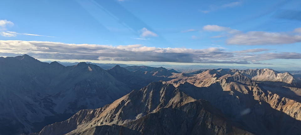
The least-wet route home was over the Blue Mesa Reservoir initially, followed by Cottonwood Pass. The latter is a bit high as mountain pass options go, but very scenic. The Collegiate Range and Antero looked very inviting as always, but I was ready for home. We crossed Troute Creek Pass headed east, with rain on the horizon. Deviating slightly southeast kept us clear of the falling water, but also exposed us to the worst “single bump” bit of turbulence I’ve felt in a long time. It was the kind that is over before you’ve processed it. You’re back in the seat, headset askew, brain ringing from surprise skull-ceiling contact, when finally all the sensations register and you’re left confused and with a pounding headache well past landing. If I hadn’t known better, I might’ve thought a F-16 had “thumped” me.
The calmer air near the Denver metro was very welcome at this point, and an easy cruise north along the front range led me home, once again in time for dinner. Betsy was due for annual soon, and this was our last fun trip beforehand. After taking similar trips to places like Steamboat and Angel Fire, I think it’s a formula I’ll be repeating. Though with the possibility of snow this winter, perhaps there’ll be skis involved…