It may have been the gray hair of my first grade teacher and personal nemesis Mrs Helen, or it may have been when I was painfully bitten by a gray horse as a toddler on Cape Cod, or maybe it was just because of the seemingly endless gray and depressing New England winters I had to endure as a child growing up.
Whatever the reason, I have always tried to keep as little gray in my life as possible, but with gray skies and sub-zero temperatures ruling the day in New Hampshire (and with no end in sight) I knew I needed to make a plan, and quick.
I spent the first two weeks of January relaxing with my beautiful wife and dogs, but I had an additional two weeks open in which to search for warmer temperatures and clearer skies. It would have been easy to fly commercially, but I was looking for an adventure that would be both fun and memorable, and that meant flying myself and all of the planning that that entails.
With the initial goal of making it to Treasure Cay in the Bahamas (MYAT) I started my planning with first learning what was required to fly a private aircraft from the U.S. to the Bahamas. Although I had done this countless times as a pilot with the airlines, the bereaucratic logistics of customs, landing fees, aircraft storage, and a plethora of other tasks were handled by others, but now it was all up to me to make sure I was both safe and legal
The first task was to register with U.S. Customs and Border Protection via their online eAPIS program. This will enable you to notify the appropriate authorities of when your aircraft will be leaving or returning to the U.S., and who will be aboard that aircraft. Failure to do this will result in a non-negotiable $5000.00 fine upon your unannounced landing.
The second task was to acquire a U.S. Customs sticker for your aircraft through DTOPS. This entailed registering your vessel and paying the appropriate fee, and if you are in a hurry, they will expedite the sticker via FedEx for just an additional $6.00, and that is just what I did.
And I waited, and waited, and called, and waited, and nothing. After two weeks of non-returned phone calls or emails, I was finally notified that there was a 4-6 week processing time, and then they would FedEx me my sticker. None of this is mentioned on their less than stellar website.
In the end, I discovered that all that is really required is that you have proof that you actually paid, and as the DTOPS website will not provide you with one, I just made a copy of my credit card statement. If you decide to FAX your application, just save the FAX'ed forms and you should be good to go.
Although it is only 60 nautical miles over water from Florida to the west end of Freeport, I would be required to have a life vest. With that in mind, I thoroughly inspected my manually activated inflatable life vest to make sure it would keep me afloat should the Lycoming decide to take an unannounced vacation at the point of no return.
With the above logistics taken care of, I moved onto flight planning and vacation locations in Treasure Cay. Due to the economic downturn which has hit even the sun soaked beaches of the Bahamas, select resorts (through government funding) were providing some awesome deals like $300 off of your bill plus an additional 20% off of the room rates if you arrived in your private plane, and stayed a minimum of four nights. With this and free tie-down's I was all set to go.
Now came the daily routine of checking winds and weather for my much anticipated journey. One day it would be clear all of the way down the east coast, but with headwinds of 30 knots, and the next day would bring calm winds but solid IFR in freezing cold temperatures. Finally after more than a week I saw my window of opportunity as a massive storm that had just finished pummeling the east coast bumbled its way into the Atlantic.
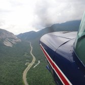
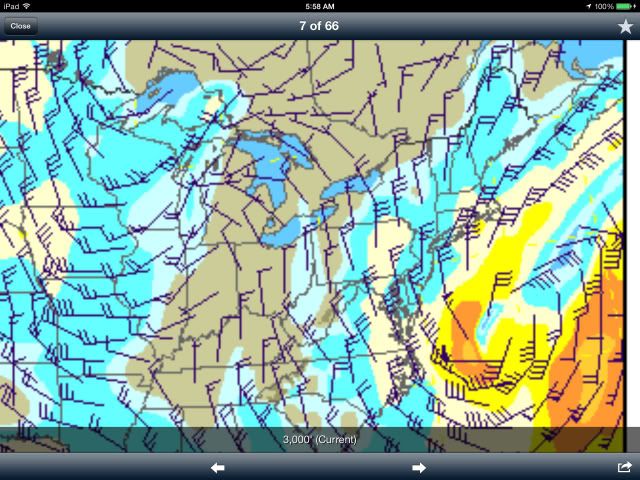
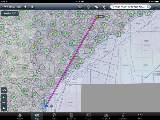
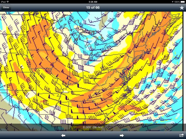
It was now or never as I studied the winds aloft chart that promised 25-35 knots on the tail, and clear skies behind the gray (did I mention I hate gray?) storm front moving east.
Taken the night before my departure, the winds aloft chart and the route to my first stop in Lumberton North Carolina behind the storm.
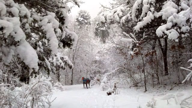
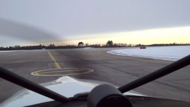
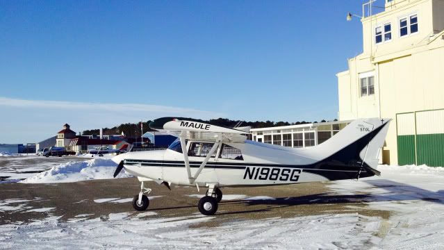
Early morning dog walk and preparing for takeoff at KPSM behind the front.
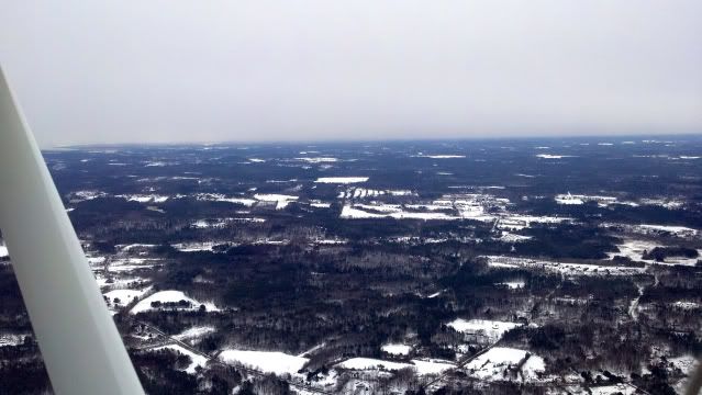
Unable to see Boston which was still experiencing heavy snowfall.
Just leveled at 2500' with a 30 knot tailwind.
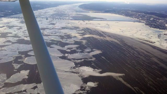
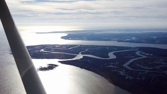
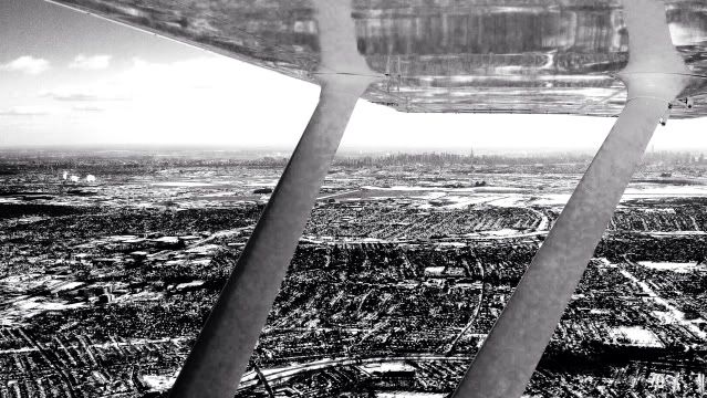
Was glass smooth until I hit the Hudson River with NYC just visible at the top.
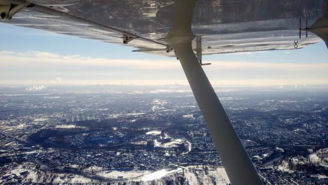
West of Newark with the Manhattan skyline in the distance in moderate chop.
Leaving NYC at my six and heading south as the air begins to smooth.
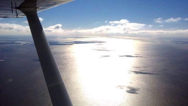
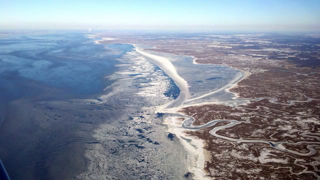
Beautiful Delaware Bay.
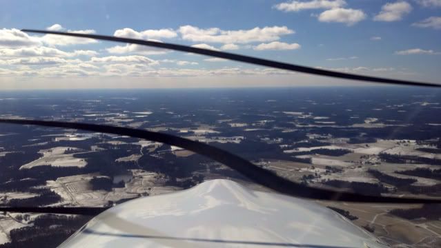
Less snow and certainly less gray.
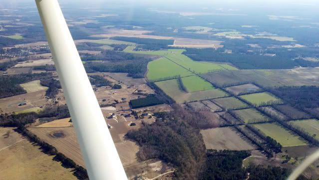
And finally what I had been waiting for, my favorite color, Green!
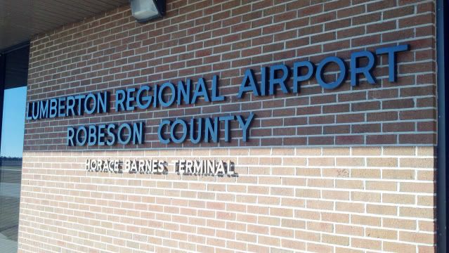
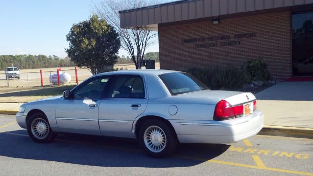
After five hours and thirty five minutes I touched down at Lumberton Regional Airport in Lumberton North Carolina.
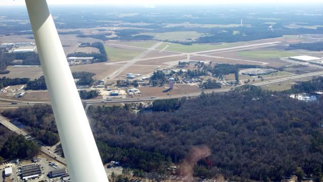
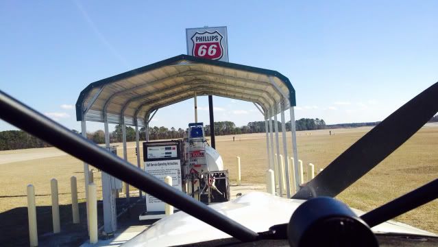
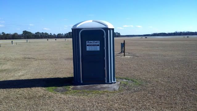
Pulled right up to the pumps to top off the tanks for tomorrow's leg, and the most essential item on the entire field, the deluxe Porta-Potty.
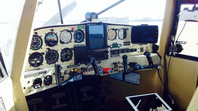
A shot of the panel with a GTN-750, Garmin 796, iPad with ForeFlight with a Stratus ADS-B II.
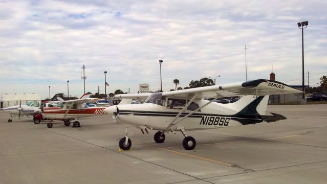
The people at the Lumberton airport were Awesome. They provided a discount coupon for the local Fairfield Inn, a free crew car with excellent directions, helped place the Maule in a brand new hanger for only $25.00 a night. Certainly an example to be followed!
After a great dinner at the Cracker Barrel Restaurant next to the Fairfield Inn, I sat down to contemplate the next leg of my journey. The plan was one leg the next day to Ft Lauderdale, and the crossing to the Bahamas the next. What I had to take into consideration was weather, winds, the unseasonably cold temperatures in the Bahamas themselves, and the final plan of making it all of the way back to New Hampshire on time, and unfortunately, my final conclusion was that I would have to amend my adventure plans.
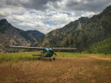
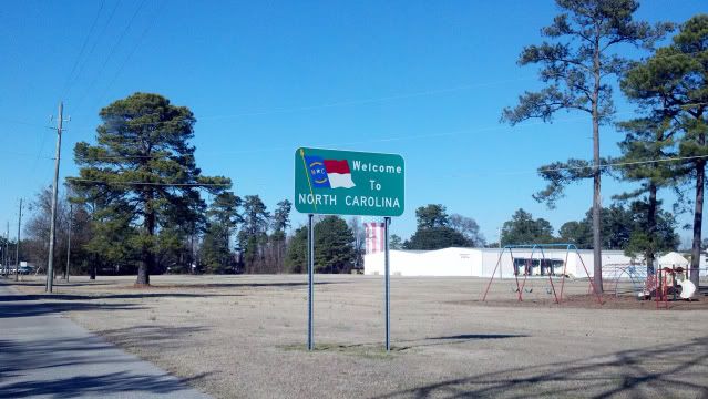
With the decision made, I set my sights on a place I had heard my wife talk about for the past 25 years, and that was beautiful St Simons Island located in southern Georgia.
I started early the next morning for the continued trip south to St Simons Island. (KSSI)
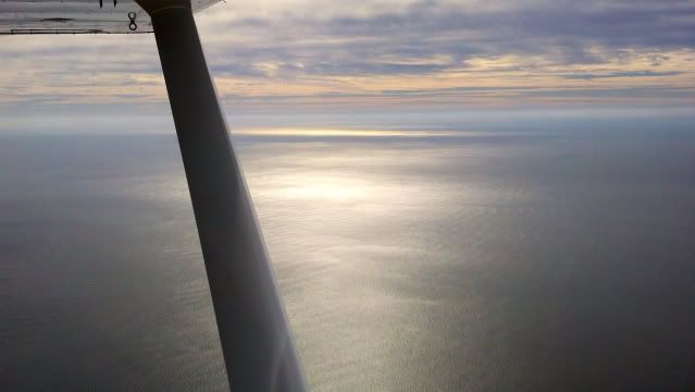
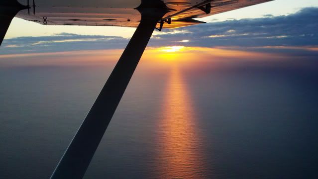
The flight was as smooth as glass and very beautiful.
Savannah Georgia upstream.
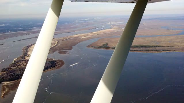
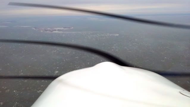
The currently quiet Atlantic.
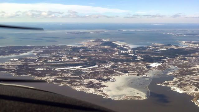
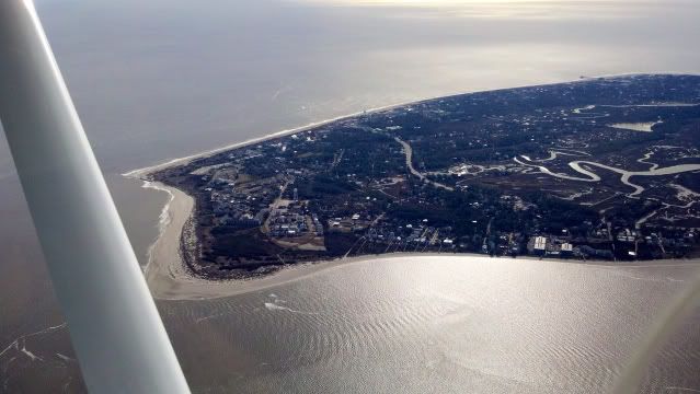
The St Simons Malcolm McKinnon airport in sight!
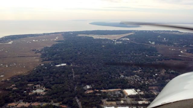
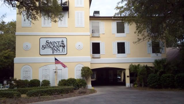
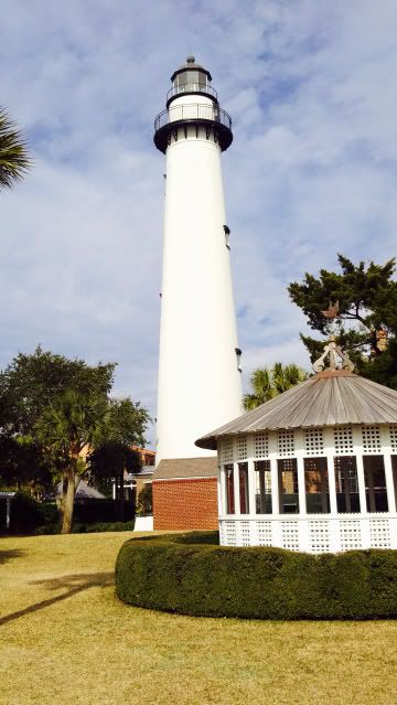
As I am flying downwind you can see the lighthouse, and just to the left, my hotel.
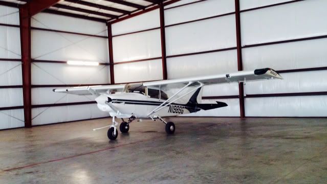
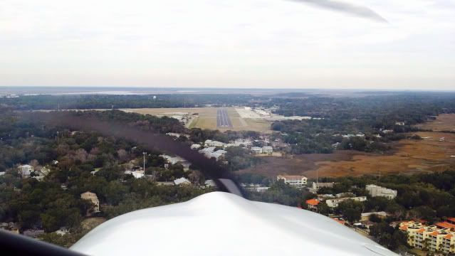
On final approach to runway 34 KSSI, and my faithful Maule that delivered me safely.
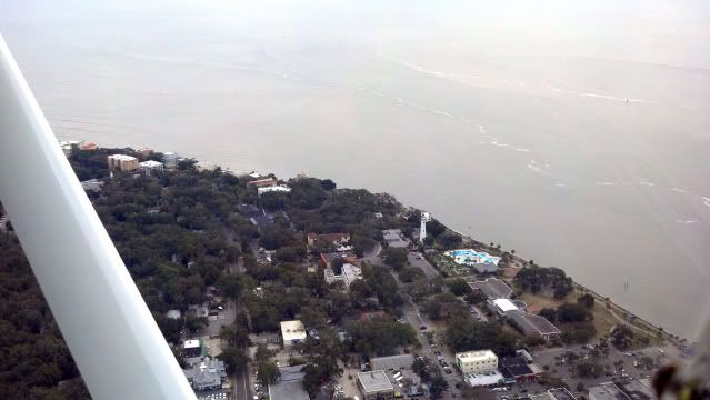
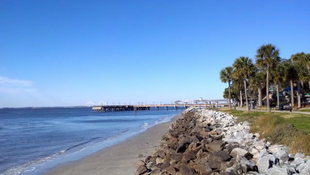
My hotel, St Simons Lighthouse, and a view of the pier.
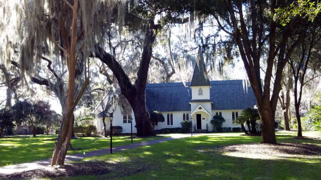
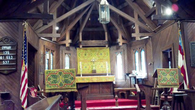
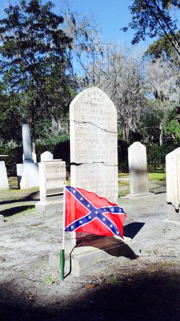
One of the true gems on St Simons Island is Christ Church. This was my wife's church during her time here and she remembers fondly of her Easter Egg hunts among the trees and gravestones.

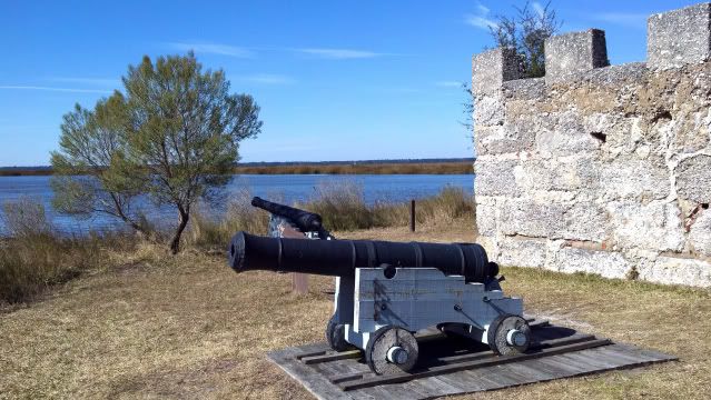
Another truly historical site is Fort Frederica just up the road.
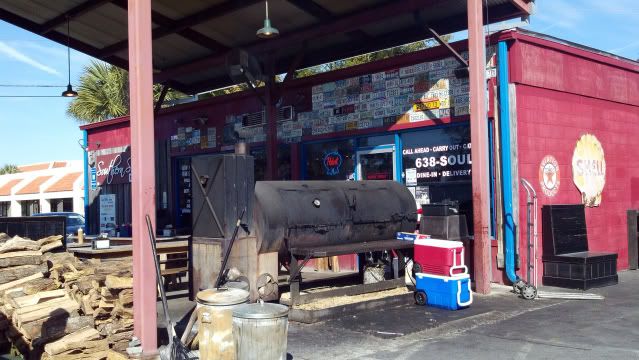
And for the ultimate St Simons experience, pulled pork from Soul Food!
After several days of walking the beaches, and more than a few fine meals, I decided to start planning for my trip back to New Hampshire. As before, I pored over the weather, winds aloft, planned fuel, and plenty of alternates should things start to deteriorate, but what really accelerated my desire to get home was a small window of 60 knot tailwinds.
If I could take advantage of this wind, I could make it all of the way home in five and a half hours.
Departing early from St Simons, I climbed to 3500 feet where these magic winds were predicted to be, and I was not disappointed.
Motoring north at 175 knots above the Chesapeake with Tangier Island off the port bow.
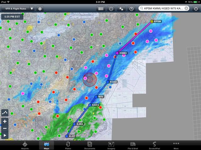
While I was thrilled to be traveling at truly lightning fast speeds for a Maule, what was concerning me was the fast advancing storm front from the west which had the possibility of cutting me off and leaving me with no options. Thanks to the Stratus ADS-B II feeding the latest meteorological conditions to the ForeFlight program on my iPad, I was able to see that fields were quickly going from clear to low IFR in a matter of minutes.
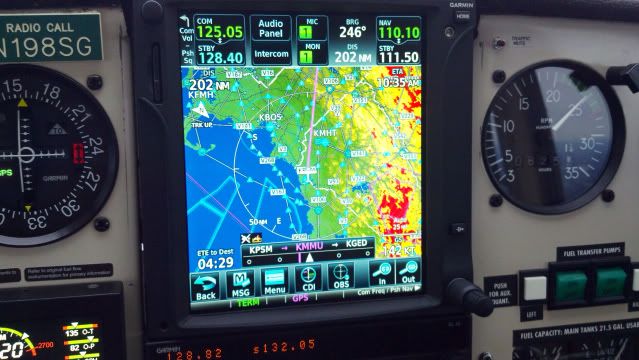
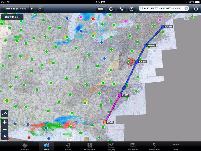
Here are a few screen-shots I took as a flew up the coast. Notice the time-stamp's in the upper left corner and the distance this hard hitting front was moving in those time periods. The white rings around the blue plane (me) represent where I will be in 5, 10, and 30 minutes from now.
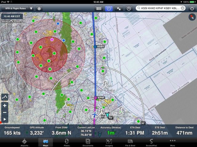
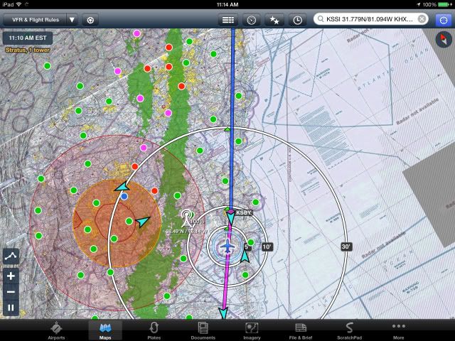
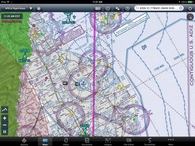
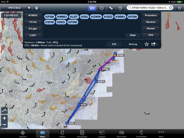
As it was more than obvious that I could not outrun this front, I decided to divert into Sussex County airport in Georgetown Delaware. (KGED) The winds which were rocketing me up the coast were also present on the ground but to a lesser extent, and as I turned final on runway 22, the winds were right down the runway at 24 knots gusting to 30.
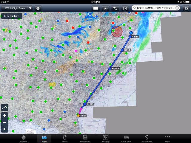
After securing the Maule in a rather antiquated WW II hanger, and the field now low IRF, I made my way to the closest hotel to wait for tomorrow which promised to be VFR. Below is the route accomplished before the divert.
A beautiful Sunday morning and the Maule all set for its final push home.
While I knew that the weather was going to be mostly clear on my route from KGED to KPSM which was only 345 miles, I also knew that the surface winds upon arrival were going to be a challenge. With this in mind, I had all four tanks topped off for a total of 73 gallons which would give me plenty of options should landing in my home airport of KPSM become a problem.
Gone were the strong winds from the south of yesterday, but until I neared the New York area, the ride was relatively smooth.
As I approached to the west of Newark, the continuous chop turned into occasional moderate turbulence and constant throttle adjustments were required for the next hour.
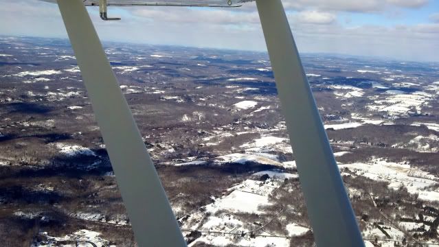
The hills of western Connecticut.
As I worked my way east through a few unpredicted snow squalls, I kept a constant eye on the surface winds at KPSM on my iPad and they did not look good. While the runway is plenty long at 11,300 feet, they (RWY 16 & 34) were unfortunately setup so that there is almost a constant direct west crosswind which was currently 23 knots gusting to 30, with a peak of 39.
The Maule has a demonstrated maximum crosswind of 13 knots, but in my experience, it is well capable of handling more. That being said, the current winds at my home base of KPSM were not within those safe parameters, so while I was still 30 minutes out, I changed my destination to Sanford Seacoast Regional (KSFM) in southern Maine where the winds were still stiff but right down the runway.
As I was getting closer and able to see both my new alternate airport of Sanford, as well as my original destination airport of Pease KPSM, ATC notified me that the winds at Pease had subsided quite suddenly and that I may be able to get in.
Altering course a few degrees towards my home airport in the still unstable air, I set up for a left base into runway 34. From the time of the reported decrease in wind velocity to the time I was on final was no less than eight minutes, but that was all it took for the wind to rebound back to 23 knots gusting to 29, and when my stall warning blared at 100 knots, I knew it was time to get out of Dodge.
After executing the missed approach, I set sail for Sanford where the winds were still reported to be straight down runway which were fine with me. Again, the time between the latest report and my arrival was only eight minutes, but that was all it took to make the windsock jump wildly from 240 degrees to 340 degrees like it was sitting in Old Sparky, while the wind was 24 knots gusting to 33.
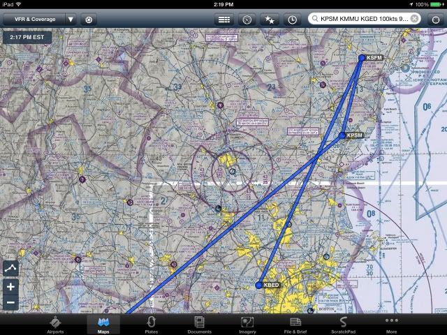
The Maule performed flawlessly on its second missed approach of the day and I decided it was time to move to the dreaded plan C. This entailed flying 35 minutes south to Hanscom Field (KBED) just to the northwest of Boston where the winds had been around 20 knots most of the day and had remained very steady, and after being airborne for four hours and thirty minutes, I landed at Hanscom to wait for the winds to subside. Below is the route of the missed approaches.
As predicted, the winds started to wind down two hours later and it was a short 25 minute flight home where the earlier gales had mellowed to an acceptable crosswind component of 13 to 18 knots.
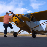
It was a whirlwind five day trip of 1888 nautical miles which helped me escape the gray, and I am ever thankful to my trusty Maule which never ceases to deliver me home safely.
Below is the entire route and thank you for reading.......................Rob