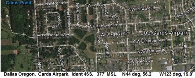
The quality of the G-Earth pics are very poor for this area of Oregon, so I present these, rather small, but very clear ones. I found them here: http://www.ormap.net/flexviewer/index.html
What I like about this web site is that I can find out ( by interpolation ) is if the land is public or private. I know there are other G-Earth overlays out there for BLM, etc overlays. This is just one more tool in the tool bag for me.
South Burns Jct Ore: Any words on this strip would be welcome. Is there a place to eat at Burns Jct?
This is the strip on the South side of the intersection I'm talking about only.

North Burns Jct Ore: This is a active BLM airport ( State of OR Av product said so ). But any port in a storm is good, right? Choss posted already ( on page 1 ), but this one is a little more clear...
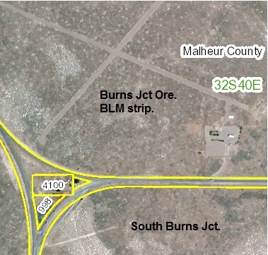
Sorry Choss, no UFO's, just BLM. ( Oregon's Area 50 and 1/2
Note: Notice where it says 4100 and 998 in the yellow boxes? I can go to the county web site and find out who owns that property with the number. This might help you obtain landing rights at that perfect back country strip you know of, but don't know who to ask.
Thanks all.


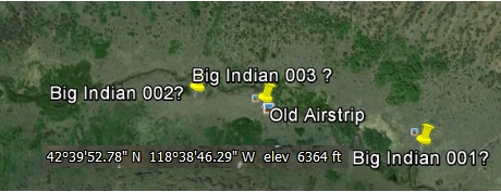


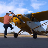


 Well two can play at that game.


